

ISLANDIA · Southwest Iceland
Distancia
53 km
Fecha
Precio de inscripción
—
€ / km
—
Hengill Ultra Trail – 53 km
Elevación y Terreno
Metros totales
2050m
D+/KM
38,7m/km
Como referencia, el circuito Tor des Géants de 330 km tiene 73 D+/km.
Pendiente media de subida
10,3%
Pendiente media de bajada
-10,8%
Distribución del gradiente de subida
| 2–5% | 5,6 km | |
|---|---|---|
| 5–10% | 6,0 km | |
| 10–15% | 3,0 km | |
| 15–20% | 1,5 km | |
| 20%+ | 1,4 km |
Perfil de ruta
AnalysedDesglose del terreno
| 33,6% | Subida |
|---|---|
| 34,2% | Llano |
| 32,1% | Bajada |
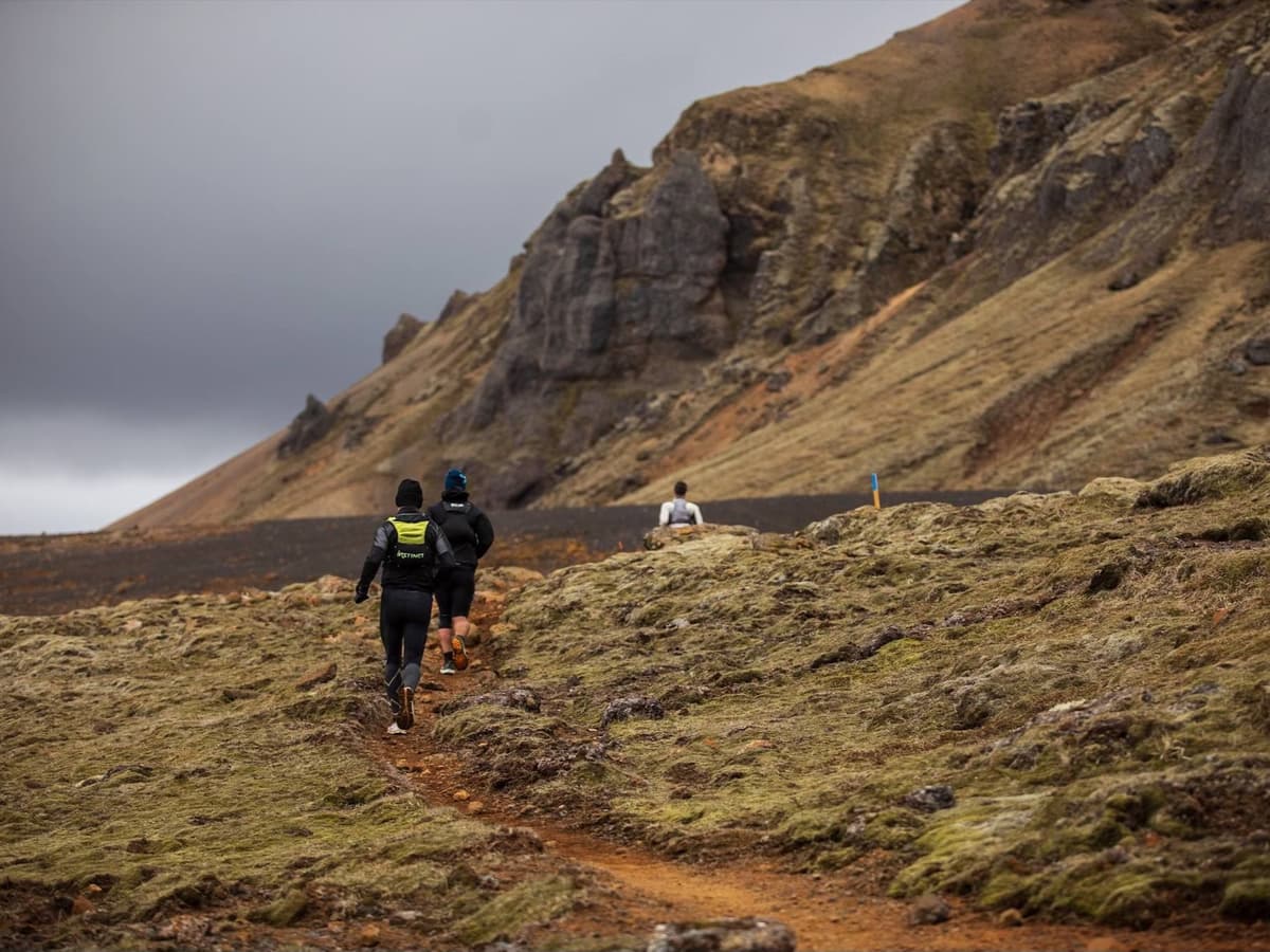
Terreno
Hengill Ultra Trail – 53 km 53km Principales ascensos
Principales ascensos
| 1 | 5,3 km · 312 m gain starts km 6 · avg 5,9% · max 27,5% |
|---|---|
| 2 | 2,6 km · 214 m gain starts km 24 · avg 8,4% · max 36,2% |
| 3 | 0,1 km · 175 m gain starts km 23 · avg 194,1% · max 411,3% |
Principales descensos
| 1 | 4,6 km · 407 m drop starts km 30 · avg -8,9% · max -48,9% |
|---|---|
| 2 | 5,4 km · 312 m drop starts km 40 · avg -5,8% · max -27,5% |
| 3 | 0,1 km · 175 m drop starts km 22 · avg -291,0% · max -298,9% |
Archivo GPX del Hengill Ultra Trail – 53 km 53km
Cómo llegar a Hengill Ultra Trail – 53 km
Aeropuerto más cercano
Reykjavík Keflavík (KEF)
Notas
Salida: ~1,0–1,5 h en coche hasta la zona de Hveragerði/Hengill / Transporte público: posible en autobús hasta Hveragerði + taxi


