SUÈDE · Södermanland County
Sörmlands Trail Run 169km: Castle to Baltic Coast Across Swedish Forest — 2,800m D+ and 55.8% Flat
Informations clés
Distance
169 km
Date
Droit d’inscription
1,950 SEK
€ / km
€1.10
Sweden’s autumn 100K - Roots, rocks, lakes, and relentless rolling single-track near Stockholm.
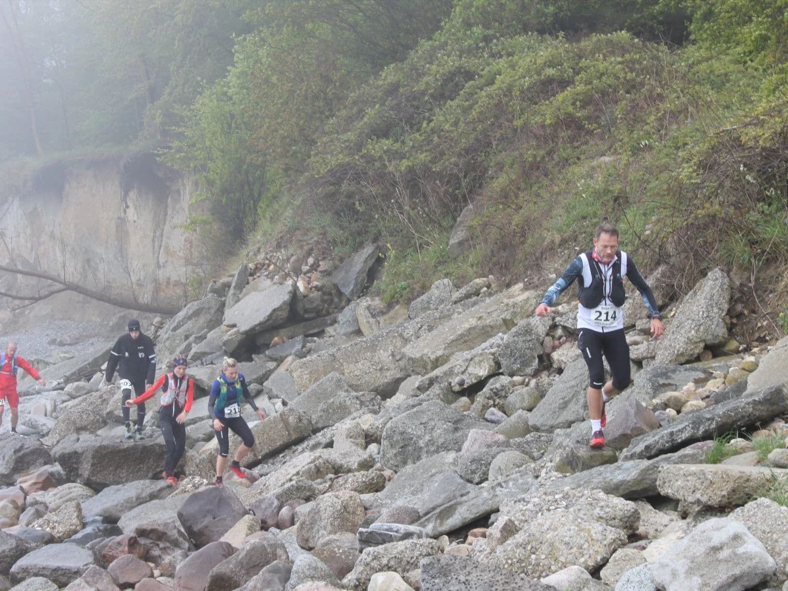
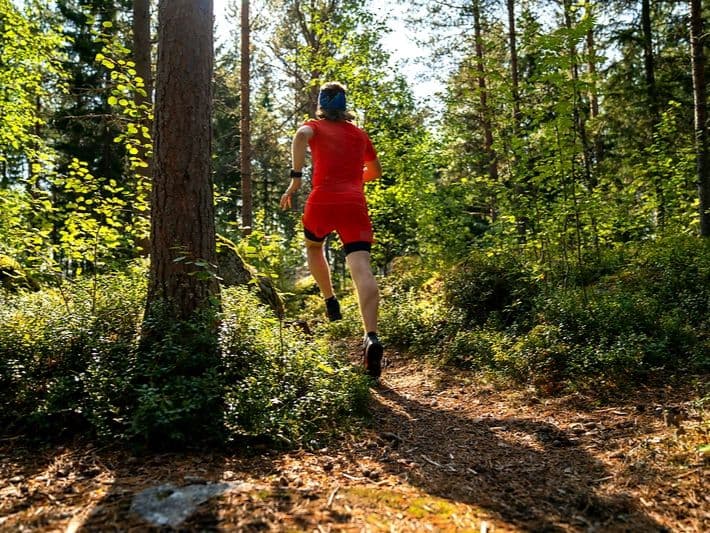
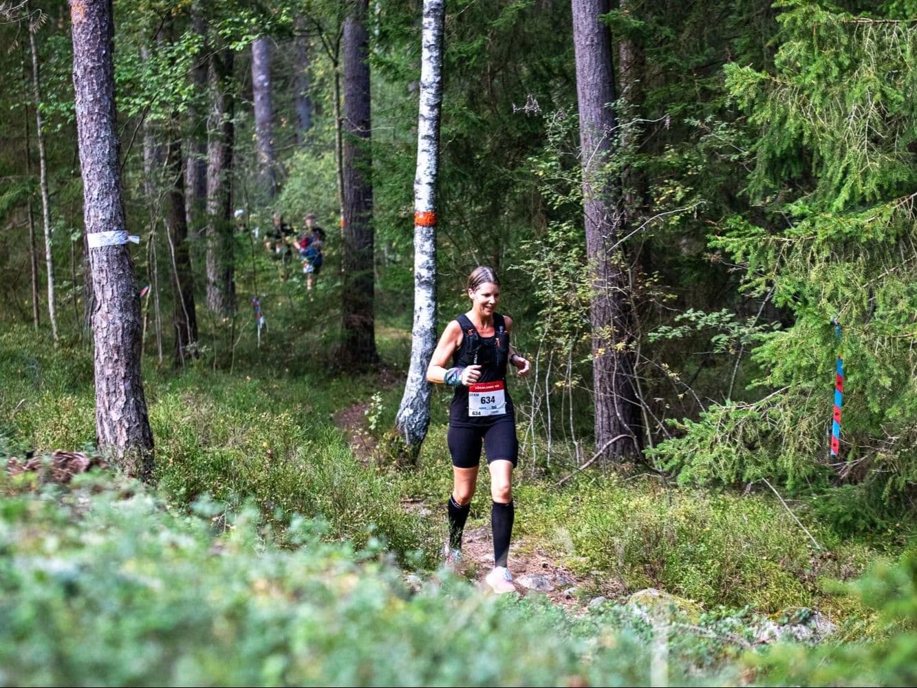
The Sörmlands Trail Run 169km is a point-to-point forest ultra that runs south across Södermanland County, Sweden, from Gripholms Slott in Mariefred — a 16th-century castle on Lake Mälaren — to Nävekvarn Folkets Park, ending on the Baltic coast. The race starts at 12:00 on September 11, 2026, part of a larger weekend that features 100km and 50 km races. The 169km course is a flat trail run - just 2,800m (16.6 m/km) of altitude, with 55.8% of the terrain classified as flat — among the flattest 8% of the DTR European database. Stats for trail runners: Distance-weighted average gradients are 5.7% uphill and 5.6% downhill and the biggest climb rises just 78 meters. All gradients are fully runnable, making this more of a distance-and-endurance challenge, not a mountain one. Plenty of character and heart in the race event - the director is Billy White (chef, author, long-distance runner) who creates a race of 13 aid stations stocked by local restaurants and food producers; a 36-hour time limit; handmade wooden belt buckle and post-race sauna for finishers. A community race at heart. The race enters its 5th edition in 2026. Entry costs 1,950–2,350 SEK (€1.10/km). Stockholm Skavsta Airport (NYO) is 13 minutes away if you can find a direct flight there.
Élévation et Terrain
Mètres totaux
2,800m
D+/KM
16.6m/km
Pour référence, le Tor des Géants 330 km a 73 D+/km.
Pente montante moyenne
5.7%
Pente descendante moyenne
-5.6%
Distribution du gradient de montée
| 2–5% | 20.5 km | |
|---|---|---|
| 5–10% | 12.6 km | |
| 10–15% | 3.1 km | |
| 15–20% | 0.9 km | |
| 20%+ | 0.4 km |
Profil de parcours
AnalysedDétail du terrain
| 21.9% | Montée |
|---|---|
| 55.8% | Plat |
| 22.3% | Descente |
Terrain
Ascensions

Principales montées
| Rank | Length | Elevation gain | Start km | Average gradient | Max gradient |
|---|---|---|---|---|---|
| 1 | 2.6 km · 78 m gain starts km 23 · avg 2.9% · max 16.9% | ||||
| 2 | 2.6 km · 70 m gain starts km 7 · avg 2.7% · max 21.7% | ||||
| 3 | 2 km · 44 m gain starts km 103 · avg 2.2% · max 15.4% |
Principales descentes
| Rank | Length | Elevation drop | Start km | Average gradient | Max gradient |
|---|---|---|---|---|---|
| 1 | 4 km · 86 m drop starts km 164 · avg -2.2% · max -14.3% | ||||
| 2 | 3.1 km · 54 m drop starts km 97 · avg -1.7% · max -22.3% | ||||
| 3 | 2.1 km · 49 m drop starts km 20 · avg -2% · max -32.4% |
Sörmlands Trail Run 169km: Castle to Baltic Coast Across Swedish Forest — 2,800m D+ and 55.8% Flat
How Hard Is the Sörmlands Trail Run 169km? (55.8% Flat, 2,800m D+, and 36 Hours Through Södermanland Forest)▼
Q: How hard is the Sörmlands Trail Run 169km? | A: Hard in the way only very long flat races are hard. The 169km course gains just 2,800m (~16.6 m/km), with 55.8% of the terrain flat — rank 360 of ~390 in the DTR database. DW average gradients are 5.72% uphill and 5.63% downhill; all gradient is fully runnable. The biggest climb rises 78m. The challenge is 169km of sustained aerobic effort, fatigue management, and night running (12:00 Friday start; head torch required). 36-hour time limit.
Course Profile — Sörmlandsleden Trails, 13 Aid Stations, and a Point-to-Point Across 5 Södermanland Municipalities▼
Q: What is the Sörmlands Trail Run course like? | A: A point-to-point running south from Gripholms Slott in Mariefred (16th-century castle on Lake Mälaren) to Nävekvarn Folkets Park on the Baltic coast. 169km across 5 municipalities and 120+ private land parcels. 60% trail, 30% gravel, 10% asphalt, following the pre-marked Sörmlandsleden and Eriksgata networks. 13 aid stations approx every 13km; many at local restaurants and food producers. Cupless — bring your own cup. GPS tracker provided.
€1.10/km and 13 Minutes from Stockholm Skavsta: The Sörmlands Trail Run Value and Logistics Case▼
Q: How much does Sörmlands Trail Run 169km cost and is it sold out? | A: Entry is 1,950 SEK (Dec–Feb), 2,150 SEK (Mar–May), or 2,350 SEK (Jun–Sep 10) — approximately €1.10/km per DTR's AUTO calculation. Not sold out; registration closes September 10 or earlier if the race fills. Register via RaceID at sormlands100.com.
Getting to the Sörmlands Trail Run: Stockholm Skavsta (NYO) at 13 Minutes and Why Nyköping Is the Right Base▼
Q: Which airport should I use for the Sörmlands Trail Run? | A: Stockholm Skavsta (NYO) is the closest at approximately 13 minutes from Nyköping, the race logistics hub. Wizzair serves NYO from Warsaw, Bucharest, and Belgrade; Norwegian flies seasonally. From Stockholm Arlanda (ARN), train or bus to Nyköping takes approximately 2 hours. Best base is Nyköping — plentiful accommodation and on the race shuttle bus route to the Mariefred start.
Fichiers de course
Logistique
Aéroport le plus proche
Stockholm Skavsta (NYO) / Stockholm Arlanda (ARN)
Notes
Start: Only 15 minutes by car or bus from NYO to Nyköping. Wizzair flies from Warsaw, Bucharest, Belgrade into NYO, Norwegian flies seasonally from Spain / Public transport: train/bus/car from ARN to Nyköping/Trosa region takes about two hours / Accommodation: Nyköping is the best base with plentiful lodging, and is a stop on the shuttle bus to race starts, as well as the start of the 50km race. Airbnbs available at race finish and other towns nearby (car recommended)