LITUANIE · Vilnius County
Kernave-Vilnius Trail 42km: Baltic Forest Trail Marathon from Silėnai to Vilnius -- Top 12% Flattest in the DTR Database, GPS Navigation, and a Capital City Finish
Distance
42 km
Date
Droit d’inscription
48 EUR
€ / km
€1.14
Nouvelle date en attente
Cette course a déjà eu lieu. La date de la prochaine édition est en attente.
History-to-capital run: trails from UNESCO Kernavė toward Vilnius with a strong local feel.
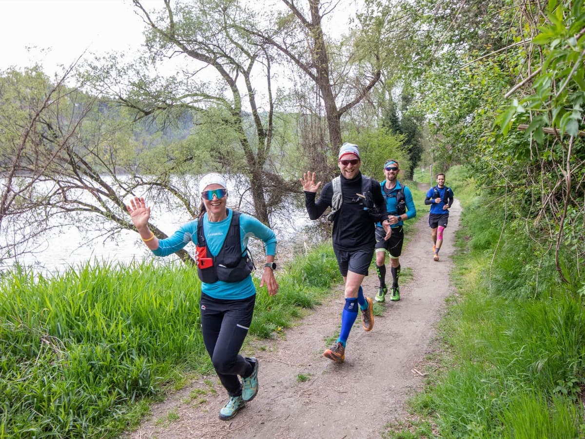
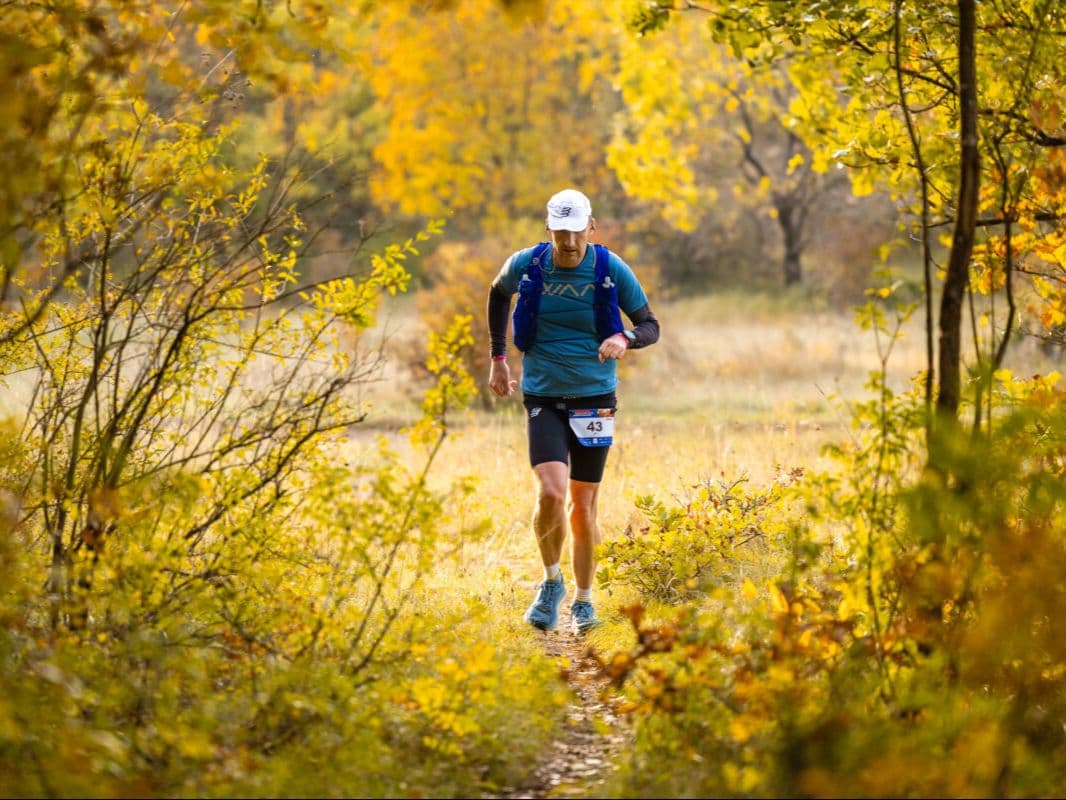
Kernave-Vilnius Trail 42km (branded the Suunto MARATONAS) is a point-to-point forest trail from Silėnai village -- roughly the midpoint of the 82km ultra course -- to the Lithuanian capital Vilnius, joining the same route used by longer distances on the second half of their journey. The course delivers ~950m D+ over 42km (~22.6 m/km; D+/km rank 328/~390 -- near-bottom elevation density), running ~80% through dense Lithuanian forest and along the Neris River valley. PctFlat rank 342/~390 makes this one of the top 12% flattest trail events in the DTR database -- a predominantly runnable marathon-distance trail race in June Baltic light. 8-hour time limit; 2 aid stations; GPS navigation required. Finish in Vilnius city; Vilnius Airport (VNO) at the finish. Part of the Kernave-Vilnius Trail event (also: 82km, 21km, 10km). June 2026 edition passed; next edition June 2027.
Élévation et Terrain
Mètres totaux
881m
D+/KM
20.9m/km
Pour référence, le Tor des Géants 330 km a 73 D+/km.
Pente montante moyenne
8.9%
Pente descendante moyenne
-8.5%
Distribution du gradient de montée
| 2–5% | 5.1 km | |
|---|---|---|
| 5–10% | 2.9 km | |
| 10–15% | 1.1 km | |
| 15–20% | 0.7 km | |
| 20%+ | 1.1 km |
Profil de parcours
AnalysedDétail du terrain
| 25.9% | Montée |
|---|---|
| 46.6% | Plat |
| 27.6% | Descente |
Terrain
Ascensions
Principales montées
| 1 | 1.4 km · 99 m gain starts km 36 · avg 7.2% · max 88.5% |
|---|---|
| 2 | 0.7 km · 76 m gain starts km 4 · avg 11.5% · max 30.3% |
| 3 | 3.6 km · 72 m gain starts km 13 · avg 2% · max 40.3% |
Principales descentes
| 1 | 1.6 km · 84 m drop starts km 15 · avg -5.3% · max -56.7% |
|---|---|
| 2 | 1.4 km · 77 m drop starts km 39 · avg -5.4% · max -16.1% |
| 3 | 2.1 km · 74 m drop starts km 21 · avg -4% · max -45.5% |
Kernave-Vilnius Trail 42km: Baltic Forest Trail Marathon from Silėnai to Vilnius -- Top 12% Flattest in the DTR Database, GPS Navigation, and a Capital City Finish
How Flat Is the Kernave-Vilnius Trail 42km -- and What Does That Mean for Your Race?▼
Q: What is the Kernave-Vilnius Trail 42km? A: The Kernave-Vilnius Trail 42km (branded the 42KM Suunto MARATONAS) is a point-to-point trail marathon from Silėnai village to Vilnius, the Lithuanian capital. It runs the second half of the same course used by the 82km ultra distance, covering ~80% dense Lithuanian forest and the Neris River valley. The course delivers ~950m D+ over 42km (~22.6 m/km; D+/km rank 328/~390 -- near-bottom of the DTR database), with PctFlat rank 342/~390 (top ~12% flattest). Start: 10:00; 8-hour time limit; 2 aid stations. GPS navigation required. Finish in Vilnius city; Vilnius Airport (VNO) is at the finish city. Part of the Kernave-Vilnius Trail multi-distance event (82km, 42km, 21km, 10km). 2026 race (June 13) has passed; next expected June 2027.
Silėnai to Vilnius -- The Route, the Neris River, and What the 42km Covers That the 82km Shares▼
Q: How hard is the Kernave-Vilnius Trail 42km, and is it suitable for road runners? A: Yes -- one of the most accessible trail marathons in the DTR database for road runners. D+/km rank 328/~390 (less dense than ~84% of catalogued courses), AvgUphill rank 295/~390 (gentler than ~76% of the database), and PctFlat rank 342/~390 (top ~12% flattest). The top single ascent ranks 351/~390 -- near the smallest in the database. The average descent is among the top ~22% gentlest (rank 88 inverted). The primary demands are: sustained 42km effort on forest trail (soft ground, roots, uneven surface), GPS navigation (must follow GPX track -- no course markings), and two aid stations across the distance with an 8-hour time limit. Expect trail pacing to be 10-20% slower than road marathon pace despite the flat profile. A road marathoner with 4-5hr fitness and a GPS watch for navigation is well-equipped for this event.
GPS Navigation at a Trail Marathon -- Why the Kernave-Vilnius Trail Requires a Sports Watch and What to Prepare▼
Q: Does the Kernave-Vilnius Trail 42km have course markings, or do I need GPS navigation? A: GPS navigation is required for all 82km, 42km, and 21km distances. The course is NOT physically marked -- runners must have the GPX file downloaded to a sports watch or a mobile phone with a navigation app. The final GPX file is typically released ~2 weeks before race day; a preliminary GPX is available earlier via kernavetrail.lt/courses/maratonas. Runners should practice loading and following a GPX track before race day. The 10km distance format may differ -- VERIFY at kernavetrail.lt. Navigation in dense Lithuanian forest with the Neris River valley adds an adventure element above the gradient difficulty: junctions may be unmarked, and forest tracks can look similar. Download the GPX well in advance and check it on a training run before the event.
Finishing in Vilnius -- VNO at the Finish Line and Why Kernave-Vilnius Has the Best Trail Logistics in the Baltics▼
Q: What are the entry fees and registration for the Kernave-Vilnius Trail 42km? A: Entry fee for the 42km: VERIFY at kernavetrail.lt or dbsportas.lt -- the 82km sibling distance is approximately 65 EUR; the 42km is likely lower (estimated 35-55 EUR). Registration is via the Lithuanian sports portal dbsportas.lt (dbsportas.lt/lt/varz/2026003). 2026 race (June 13) registration is now closed; check kernavetrail.lt for 2027 opening. Runners receive: GPS tracker (check current year rules), race bib, and finisher medal for sub-cutoff. Part of the same event as the 82km ultra -- the 82km ultra runners start earlier on the same day; there is a shared race atmosphere at finish in Vilnius.
Fichiers de course
Logistique
Aéroport le plus proche
Vilnius (VNO) / Kaunas (KUN)
Notes
Start: ~1–1.5 hrs to Kernavė from VNO; finish in Vilnius / Public transport: bus options via Vilnius bus station plus local connections; taxi easier for race-morning / Accommodation: very strong in Vilnius; Kernavė limited; book early (June)