ESPAGNE · Aragon (Pyrenees)
Trail Valle de Tena Ultra 80km: The Spanish Pyrenean Ultra You Train For by Hiking, Not Running
Informations clés
Distance
80 km
Date
Droit d’inscription
120 EUR
€ / km
€1.50
Pyrenees village-to-ridge: some of the biggest climbs in Europe, rugged trails, and high-mountain scenery in Aragón.
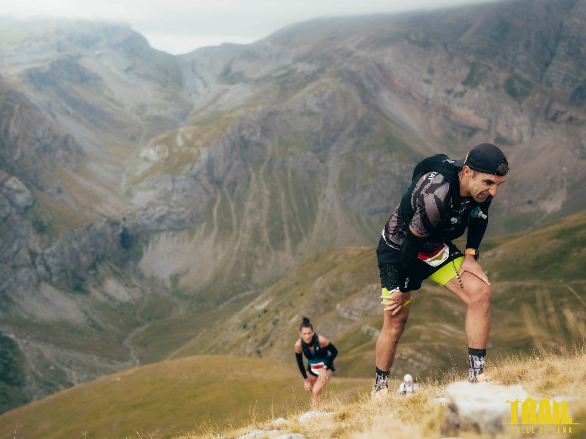
The Trail Valle de Tena Ultra 80.15km — known internally as the ""8K"" for its target of approximately 8,000m D+ — is a mountain trail race held each September in Panticosa, Aragon, in the Spanish Pyrenees. The course covers 6,820m of elevation gain — approximately 85m per kilometre — placing it among the top 15% most elevation-dense distances in DTR's database of nearly 390 courses. Entry costs €120–130, or approximately €1.50 per kilometre. The route climbs to the Garmo Negro summit at 3,064m, threading through the Brazatos mountain lakes and the spa village of Baños de Panticosa. Average uphill gradient is 18.67% — steeper than all but approximately 5–10 distances in DTR's entire database — and just 7.8% of the course is flat terrain, near the minimum of any distance with GPX data. The standout climb at km 24 rises 1,374m in 5.94km at a sustained 23.13% average, peaking at 83.3%. Zaragoza (ZAZ) or Bilbao (BIO) are the nearest airports, approximately 116 minutes away; public transport is not realistic. In its eleventh edition in 2026, the race starts at 5:00 AM from Panticosa's main square with a 25-hour cutoff and an OWAKA GPS safety device included in the entry fee. It suits experienced mountain runners comfortable with non-runnable terrain, sustained 20%+ gradients, and strict cutoffs.
Élévation et Terrain
Mètres totaux
6,820m
D+/KM
85.1m/km
Pour référence, le Tor des Géants 330 km a 73 D+/km.
Pente montante moyenne
18.7%
Pente descendante moyenne
-17.3%
Distribution du gradient de montée
| 2–5% | 4.5 km | |
|---|---|---|
| 5–10% | 5.7 km | |
| 10–15% | 5.8 km | |
| 15–20% | 6.3 km | |
| 20%+ | 14.2 km |
Profil de parcours
AnalysedDétail du terrain
| 44.4% | Montée |
|---|---|
| 7.8% | Plat |
| 47.8% | Descente |
Terrain
Ascensions

Principales montées
| Rank | Length | Elevation gain | Start km | Average gradient | Max gradient |
|---|---|---|---|---|---|
| 1 | 5.9 km · 1374 m gain starts km 24 · avg 23.1% · max 83.3% | ||||
| 2 | 10.5 km · 1367 m gain starts km 0 · avg 13% · max 53.6% | ||||
| 3 | 7.1 km · 759 m gain starts km 56 · avg 10.7% · max 57.5% |
Principales descentes
| Rank | Length | Elevation drop | Start km | Average gradient | Max gradient |
|---|---|---|---|---|---|
| 1 | 7.5 km · 1259 m drop starts km 49 · avg -16.8% · max -43.1% | ||||
| 2 | 5.4 km · 969 m drop starts km 19 · avg -18% · max -55.4% | ||||
| 3 | 7.9 km · 751 m drop starts km 64 · avg -9% · max -42.3% |
Trail Valle de Tena Ultra 80km: The Spanish Pyrenean Ultra You Train For by Hiking, Not Running
How hard is the Trail Valle de Tena 80km?▼
Q: How hard is the Trail Valle de Tena 80km? A: Extremely demanding, and explicitly designed to be. The 80.15km course gains 6,820m at an average of 85m per kilometre. Average uphill gradient is 18.67%, steeper than all, but approximately 5–10 distances in DTR's database of 390. The biggest climb starts at 24km, peaks at the Garmo Negro area. A 2018 finisher described the approach bluntly: "se prepara pateando, no corriendo" (you train for this by hiking, not running). Time limit is 25 hours.
Weather and Summit Climate Guide: Trail Valle de Tena Ultra 80km▼
Q: What weather conditions and temperature changes should runners expect along the course? A: Trail Valle de Tena Ultra 80km is held early in September, the course climbs high towards Garmo Negro summit at 3,064m where conditions shift to include cold temperatures, wind, fog, and rain. Racers face cold and dark before dawn when the race starts, transitions to potential afternoon heat in lower valleys, and alpine conditions near the summit. With these type of weather changes, racers must be equipped according to the weather demands.
What is the Garmo Negro climb, and How Does it Compare to Other European Ultras?▼
Q: What is the Garmo Negro climb? A: The single biggest climb on the course starts at km 24 and rises 1,374m over just 5.94km. It tops out near the Garmo Negro area at approximately 3,064m. By the numbers, this is one of the most sustained and steep single ascents in DTR's database. Runners then descend through the Bachimaña area before a third major ascent near km 56.
How Much Does Trail Valle de Tena Cost? (Entry fee, what's included, and value)▼
Q: How much does Trail Valle de Tena 80km cost? A: Entry is €120 until March 31, 2026, rising to €130 from April 1 through August 30,approximately €1.50 per kilometre. The entry fee includes an OWAKA GPS satellite safety device, which is mandatory for the race. A medical certificate is also required. Any post-registration changes incur a €3 management fee.
Fichiers de course
Logistique
Aéroport le plus proche
Zaragoza (ZAZ) / Bilbao (BIO)
Notes
Start: 2–3h / Public transport: not realistic