Poland · Podkarpackie (Bieszczady)
Distance
100 km
Date
Entry fee
PLN 495
€ / km
€1.19
Bieg Rzeznika 99.7km: Poland's Legendary Butcher's Run -- Pairs-Only, 3:30 AM Start, and a -47.73% Descent in the Bieszczady Mountains
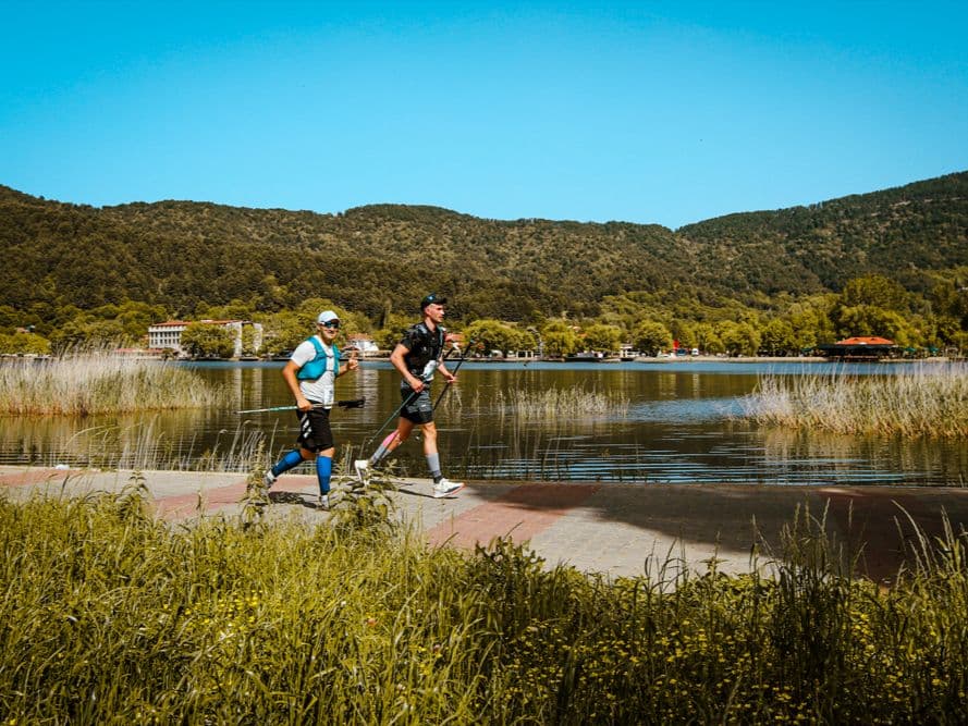
Bieg Rzeznika -- the Butcher's Run -- is Poland's most legendary mountain ultra and one of the most distinctive races in European trail running. Started in 2004 with just 10 competitors (6 finished), it has earned near-mythical status in the Polish running community: every runner in Poland knows that you are not a real runner until you have run the Butcher. It won Poland's best ultra award in 2014. The race runs 99.7km through the Bieszczady Mountains of southeastern Poland -- remote, exposed ridgelines near the Slovak and Ukrainian borders -- with 4,803m D+ (48.2 m/km) and a 3:30 AM start from Cisna. The descent profile is genuinely brutal: the top descent drops 616m over 4.6 km at -13.5% average with a -47.7% max gradient (confirmed by GPS). 5.5 km of the course sits at 20%+ gradient.
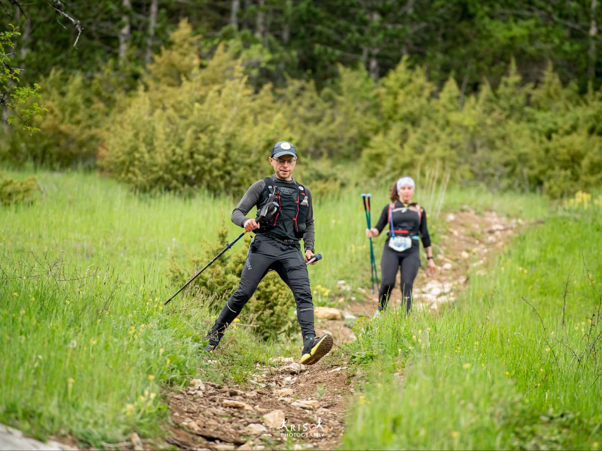
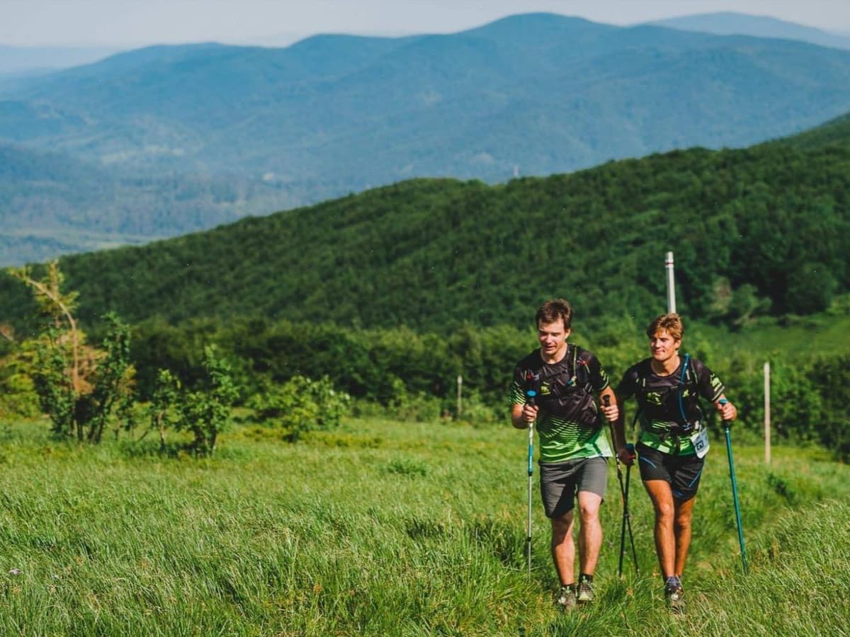
The race's most defining feature is its mandatory pairs-only format. Every competitor must run in a team of two, staying within 100m of each other at all times. If one partner drops, both are eliminated. No exceptions. This rule was introduced for safety in the remote Bieszczady terrain and has become the race's core identity -- the only 100km ultra in Europe you can only enter with a friend. 1,196 starters (598 pairs) compete in recent editions; 540 pairs finish within the 16-hour limit.
340 PLN entry (EUR 0.82/km). NOT FAR: Rzeszow Airport (RZE) 127 minutes. Registration described as nearly miraculous to obtain despite formal not-sold-out status. Official 2026 listings give 96.5 km and 4,900 m D+; DTR analysis of the published route gives 99.7 km and 4,803 m.
Elevation and Terrain
Total Meters
4,803m
D+/KM
48.2m/km
For context, the Tor des Géants 330 loop has 73 D+/km.
Avg Uphill Gradient
10.6%
Avg Downhill Gradient
-11.9%
Uphill gradient distribution
| 2–5% | 13.0 km | |
|---|---|---|
| 5–10% | 11.5 km | |
| 10–15% | 7.9 km | |
| 15–20% | 5.5 km | |
| 20%+ | 5.5 km |
Route Profile
AnalysedTerrain breakdown
| 43.4% | Uphill |
|---|---|
| 17.9% | Flat |
| 38.7% | Downhill |
Terrain
Bieg Rzeźnika – 99.7 km 100km Top Climbs
Top Climbs
| 1 | 5.4 km · 583 m gain starts km 59 · avg 10.8% · max 33.2% |
|---|---|
| 2 | 7.3 km · 545 m gain starts km 0 · avg 7.4% · max 30.7% |
| 3 | 5.2 km · 489 m gain starts km 77 · avg 9.4% · max 45.7% |
Top descents
| 1 | 4.6 km · 616 m drop starts km 64 · avg -13.5% · max -47.7% |
|---|---|
| 2 | 6.9 km · 517 m drop starts km 89 · avg -7.5% · max -42.4% |
| 3 | 3.4 km · 400 m drop starts km 55 · avg -12.0% · max -35.6% |
Poland's Mandatory-Pair Mountain Ultra: Bieg Rzeznika 99.7km
What is Bieg Rzeznika?
▼
Bieg Rzeznika (the Butcher's Run) is Poland's most legendary mountain ultra, held annually in June in the Bieszczady Mountains of southeastern Poland. The race covers approximately 99.7km with 4,803m D+ (~48.2 m/km), starting at 3:30 AM from Cisna and following the Bieszczady Red Trail through remote wilderness near the Slovak and Ukrainian border. The race's defining feature is its mandatory pairs format: every competitor must run in a team of two, staying within 100m of each other at all times. If one partner drops, both are eliminated. First held in 2004 with 10 competitors (6 finished); now attracts ~1,196 starters (598 pairs) with ~540 pairs finishing within the 16-hour limit. Winner of Poland's best ultra award in 2014. Part of the XII Festiwal Biegu Rzeznika in 2026. 340 PLN entry. NOT FAR: Rzeszow Airport (RZE) 127 minutes from Cisna. Note: 2026 official listings show Bieg Rzeznika Ultra at 96.5km / 4,900m D+ -- distance discrepancy with Airtable (99.7km / 4,803m) needs Stage 5 verification.
Racing in Pairs: How the Mandatory Team Format Works at Bieg Rzeznika 99.7km
How does the mandatory pairs format work at Bieg Rzeznika?
▼
Every runner must enter and race in a team of exactly two people. Partners must stay within 100 metres of each other throughout the entire race -- this is monitored and enforced. If one partner is unable to continue for any reason (injury, illness, timing cutoff), both partners are eliminated from the race. There are no exceptions. All pairings are accepted: mixed, male/male, female/female. The rule was introduced because the Bieszczady Mountains are genuinely remote terrain -- no phone signal in parts of the course, no immediate rescue access on some ridgelines -- and solo runner emergencies were a safety concern. Over time the pairs format has become the race's core identity. Partners must be physically and mentally matched enough to stay together through the descent sections, where pace differences under fatigue can exceed the 100m limit. Choosing the right partner is as important as training for the race itself.
Bieg Rzeznika 99.7km's Descent Profile: Harder Going Down Than Coming Up
How hard is the descent profile at Bieg Rzeznika?
▼
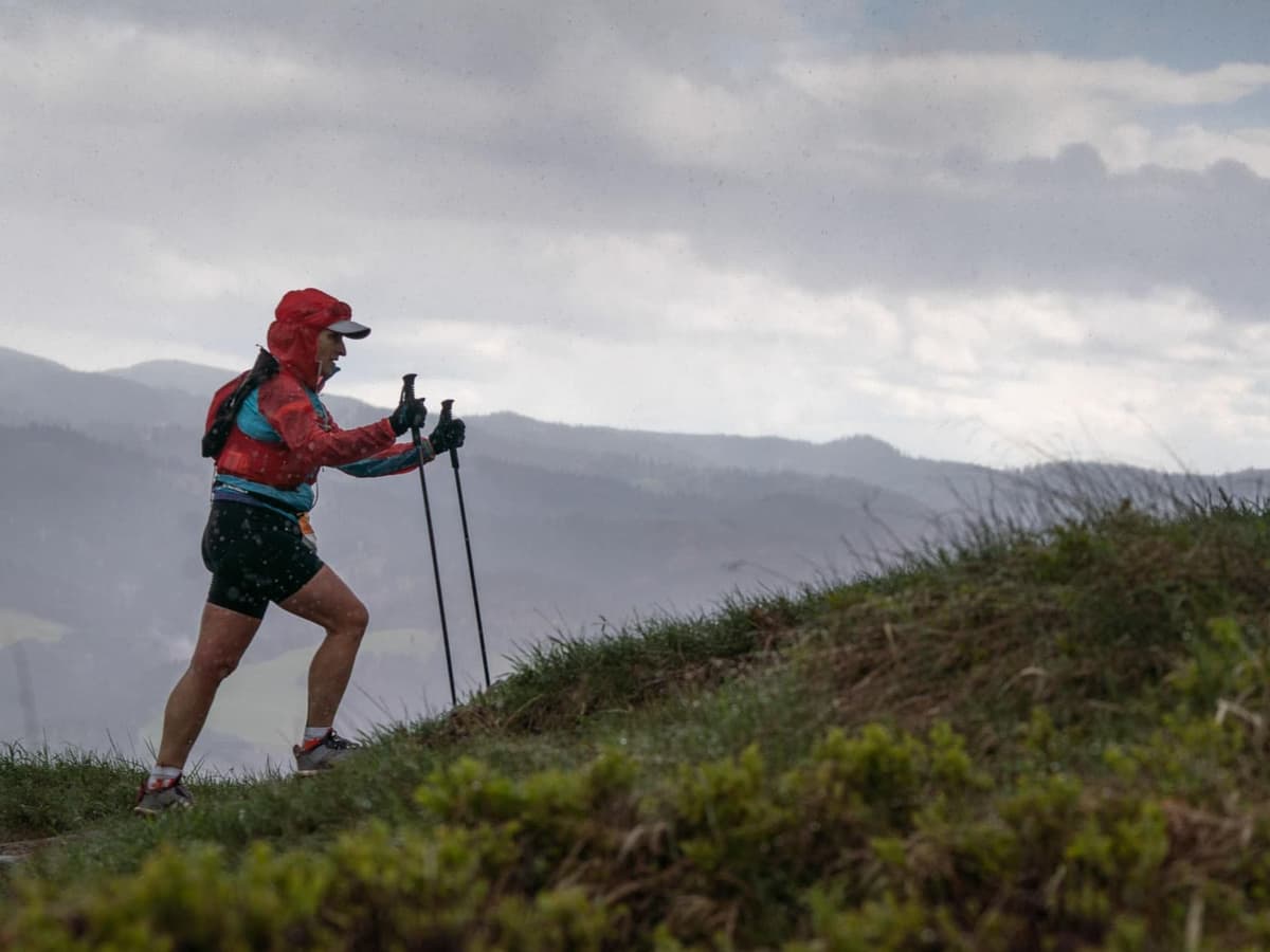
Very hard -- harder than the climbs on average. The DW average downhill gradient is -11.92% (MID tier), which is steeper than the DW average uphill (10.62%). The top descent (km 64.44, 4.56km, 616m drop) averages -13.51% with a GPS-confirmed maximum of -47.73% (ratio 3.53x: clean, not a GPS artifact). A -47.73% gradient is approximately 1-in-2 -- near-vertical terrain requiring hands-and-feet movement on steep Bieszczady grass or rock. This descent arrives immediately after the race's largest climb (583m at 10.80%) in the km 59-69 crux window. The third descent (km 55.44, 3.39km, 400m, -12.00% avg, clean GPS) arrives just before the crux climb, creating a relentless triple-hit sequence at km 55-70 that defines the race. 5.49km of the course sits at 20%+ gradient. Race reports describe previous editions where prolonged rainfall turned Bieszczady trails into mud swamps where even heavy equipment got stuck. In wet conditions, the descent profile is genuinely dangerous -- technical footwear and poles are not optional extras.
Cisna Start and the Bieszczady Red Trail: The Bieg Rzeznika 99.7km Route
What is the Bieg Rzeznika route like?
▼
The race starts at 3:30 AM in Cisna and follows the iconic Bieszczady Red Trail through the Bieszczady Mountains. The opening move is an immediate 7.32km, 545m climb from near the gun (km 0.06) -- runners tackle the first major ascent in complete darkness. The course passes through remote spruce forest and exposed moorland ridges near the Slovak and Ukrainian border, crossing Bieszczady summits typically ranging from 800-1,300m elevation. The race's most extreme sequence runs from approximately km 55-70: a descent, then the 5.40km / 583m top climb (10.80% avg), then a 4.56km / 616m plunge at -13.51% average. The final third (km 77-99.7) includes a final major ascent (5.22km, 489m) and a 6.93km closing descent. Six festival distances share the broader Bieszczady terrain on the same weekend; the 99.7km is the longest. Aid station count and positions are not confirmed in current research.
Getting to Cisna, Registration Timing, and Everything Else to Know Before Entering
How do I register for Bieg Rzeznika and get to Cisna?
▼
Registration opens at biegrzeznika.pl. Entry fee follows a rolling price ladder: 320 PLN (early), 340 PLN (Feb-Apr), 360 PLN (May-Jun), up to 420 PLN at the race office. Despite formal not-sold-out status, registration is historically described as nearly miraculous to obtain -- the race has legendary demand in Poland and places fill fast. Monitor the official site and register as early as possible. Both partners in a team must register simultaneously or link registrations. Getting there: Rzeszow Airport (RZE) is 127 minutes from Cisna -- the closest airport and NOT FAR by DTR standards. Krakow (KRK) is 3-4 hours. A car is strongly recommended -- public transport to Cisna and the Bieszczady mountain villages is limited and infrequent. Accommodation in Cisna and the surrounding area is limited relative to demand; book months in advance for June race weekend.
Bieg Rzeźnika – 99.7 km 100km GPX
Getting to Bieg Rzeźnika – 99.7 km
Nearest airport
Rzeszów (RZE) / Kraków (KRK)
Notes
Start: ~1.5–2.5 hrs (RZE) or ~3.0–4.0 hrs (KRK); 80K start near Komańcza (Bieszczady) / Public transport: buses to Cisna/Ustrzyki possible but limited; car recommended / Accommodation: limited in mountain villages; book early (June)