Skip to content
NUTS Ylläs-Pallas – 160 km 2027 trail running route — Finland · Lapland

Finland · Lapland

Distance

160 km

Date

Entry fee

€ / km

How Hard Is NUTS Ylläs-Pallas 160km? (25.1 m/km, 35.4% Flat, and a 426 m Sting at km 139)

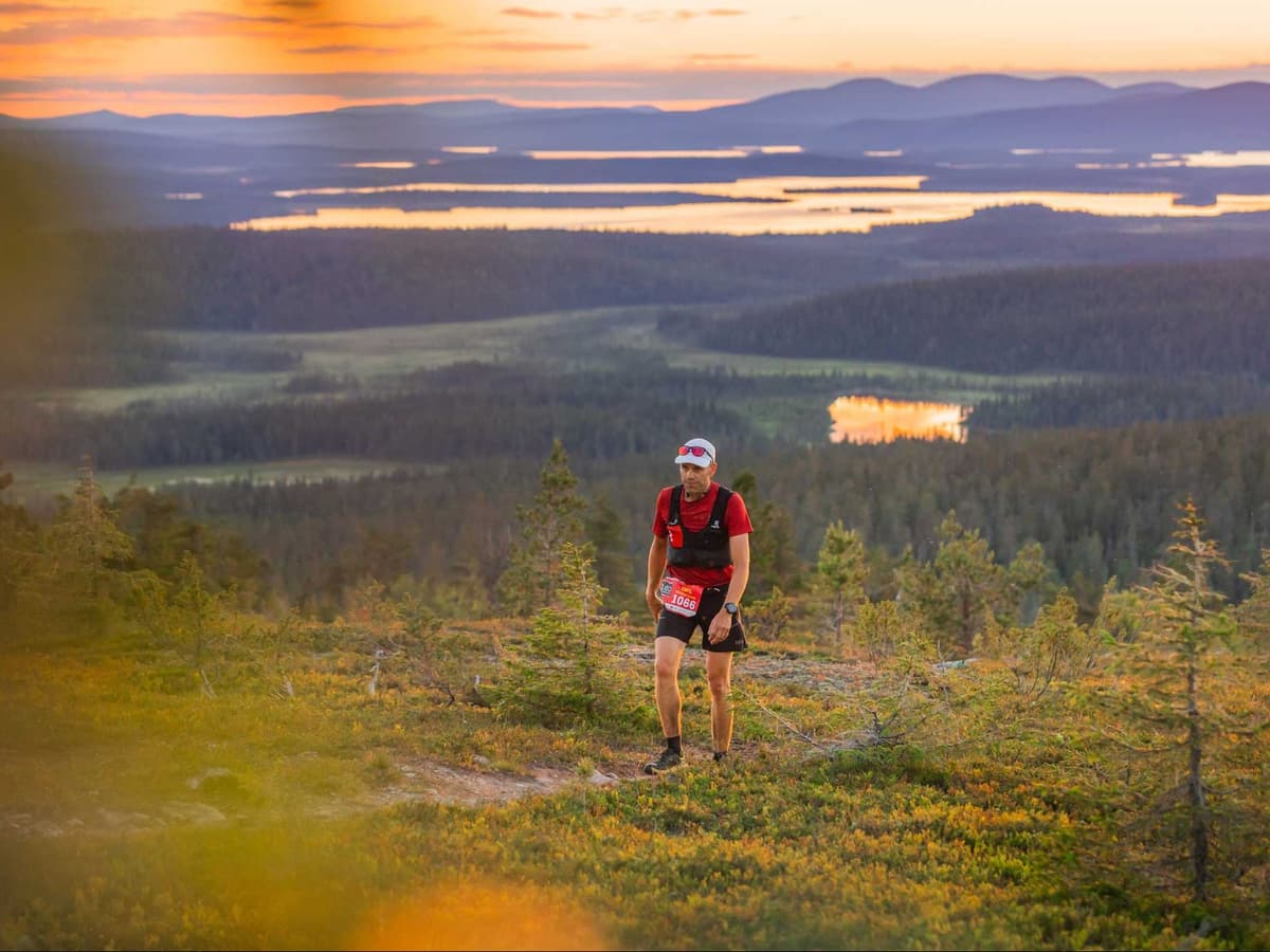
NUTS Ylläs-Pallas 160km is a point-to-point ultra through Pallas-Yllästunturi National Park in Finnish Lapland, starting July 17, 2026 at 13:00 from Hetta and finishing in Äkäslompolo — Finland's only point-to-point 100-mile trail race. The course gains 4,020m over 160km (25.1 m/km): 30.9% uphill, 35.4% flat, 33.6% downhill, with a distance-weighted average uphill gradient of 8.4% — one of the more runnable 160km profiles in the DTR database. The race runs under the

Arctic Midnight Sun — full 24-hour daylight above the Arctic Circle in July. Entry costs €193.90 (€1.21/km per DTR's AUTO calculation); -30% Zoomer Rebate for runners born in 2000 or later. Not sold out. 35-hour time limit; 11 aid stations; two drop bag points (Pallas km 66; Peurakaltio km 111.7). The decisive stretch arrives at km 139: a 426m climb followed immediately by a 492m descent. In 2025, the race ran in 30°C+ heat above the Arctic Circle. Kittilä KTT 117 min to Hetta start; IS FAR; race bus from Äkäslompolo to Hetta €21–32. First held 2014 — 13th edition in 2026; 2,591 total starters across all distances in 2025 (series record). 127 finishers in the 160km in 2025. Part of Ultra Trail Tour Finland (UTTF) series. Suits high-mileage endurance runners who want a technically approachable but relentlessly demanding Arctic 100-miler.
Elevation and Terrain

Total Meters

4,020m

D+/KM

25.1m/km

For context, the Tor des Géants 330 loop has 73 D+/km.

Avg Uphill Gradient

8.4%

Avg Downhill Gradient

-7.8%

Uphill gradient distribution

NUTS Ylläs-Pallas – 160 km 160 km — uphill gradient distribution (GPX-derived, analysed 2026-05-02)
2–5%
17.9 km
5–10%
16.8 km
10–15%
9.4 km
15–20%
3.6 km
20%+
2.1 km

Route Profile

Analysed

Terrain breakdown

NUTS Ylläs-Pallas – 160 km 160 km — terrain breakdown (GPX-derived, analysed 2026-05-02)
30.9%Uphill
35.4%Flat
33.6%Downhill

Terrain

Arctic / Fjell

NUTS Ylläs-Pallas – 160 km 160km Top Climbs

Top Climbs

NUTS Ylläs-Pallas – 160 km 160 km — top climbs (GPX-derived, analysed 2026-05-02)
1

2.9 km · 426 m gain

starts km 140 · avg 14.7% · max 25.2%

2

5.1 km · 357 m gain

starts km 12 · avg 7.0% · max 19.7%

3

2.2 km · 302 m gain

starts km 48 · avg 13.8% · max 23.7%

Top descents

NUTS Ylläs-Pallas – 160 km 160 km — top descents (GPX-derived, analysed 2026-05-02)
1

6.0 km · 492 m drop

starts km 143 · avg -8.2% · max -24.1%

2

3.4 km · 297 m drop

starts km 63 · avg -8.7% · max -22.9%

3

3.7 km · 289 m drop

starts km 17 · avg -8.0% · max -19.3%

How Hard Is NUTS Ylläs-Pallas 160km? (25.1 m/km, 35.4% Flat, and a 426 m Sting at km 139)

What time does NUTS Ylläs-Pallas 160km start?

What time does NUTS Ylläs-Pallas 160km start?

The 160km starts at 13:00 on Friday, July 17, 2026, from Hetta — an unusual daytime start for a 100-mile race. Under the Midnight Sun, runners have full daylight for the entire race. The 35-hour finish cutoff closes at 00:00 on Sunday July 19. Bib pickup is July 16–17 at Äkäslompolo (the finish). A race bus transfers runners from Äkäslompolo to the Hetta start for €21–32.

Midnight Sun and Arctic Summer: The Weather Experience at NUTS Ylläs-Pallas 160km Race

What is the weather like at NUTS Ylläs-Pallas?

Full Midnight Sun above the Arctic Circle — 24-hour daylight in July. Temperatures are typically 15–20°C but the 2025 edition reached 30°C+; heat management was the defining challenge. Conditions on open fells can change rapidly: fog, wind, rain, and even snow are possible in July. Mandatory gear includes a waterproof shell jacket (min 10,000mm). Come prepared for heat, cold, and anything between.

NUTS Ylläs-Pallas 160km and the Ultra Trail Tour Finland: A Three-Race Series

What is the Ultra Trail Tour Finland (UTTF)?

NUTS Ylläs-Pallas is part of the Ultra Trail Tour Finland — a three-race series run by NUTS Trail Running. Runners who complete all three UTTF races earn a special finisher's vest. Note: verify current ITRA or UTMB Index qualification status at nutsyllaspallas.com before registering — the race is described as a non-UTMB destination ultra but this should be confirmed for the 2026 edition.

Getting to NUTS Ylläs-Pallas 160km: Kittilä Airport and the Point-to-Point Transfer

How do I get to NUTS Ylläs-Pallas 160km?

Kittilä Airport (KTT) is the primary gateway — approximately 30–60 minutes from the Äkäslompolo finish area. The Hetta start is approximately 117 minutes from KTT. A dedicated race bus runs from Äkäslompolo to Hetta for €21 (booked before May 12) or €32 (after) — book early, as this is the practical solution for most runners. Accommodation in the Ylläs ski resort area is excellent but fills fast in summer.

How hard is NUTS Ylläs-Pallas 160km?

How hard is NUTS Ylläs-Pallas 160km?

Demanding but technically approachable. The course gains 4,020m over 160km (~25.1m/km) through Arctic fells and forest with 35.4% flat terrain and a distance-weighted average uphill gradient of 8.38% — one of the more runnable 160km courses in the DTR database. The decisive challenge arrives at km 139.53: a 426m climb followed immediately by a 492m descent with 21km to the finish. In 2025, the race ran in 30°C+ heat above the Arctic Circle. 35-hour time limit.

NUTS Ylläs-Pallas – 160 km 160km GPX

Getting to NUTS Ylläs-Pallas – 160 km

Nearest airport

Kittilä (KTT)

Notes

Start: ~30–60 min (Ylläs area) / Public transport: Possible (bus) but car easiest for race logistics / Accommodation: Very good (ski resort supply) but can fill in peak summer

Remote location icon

FAR

It’ll possibly take 3+ hours from the closest large airport to arrive. Plan your adventure accordingly, take an extra day for those after-race beers or Curranz.

Last checked: Official Website →

Races with a similar gradient