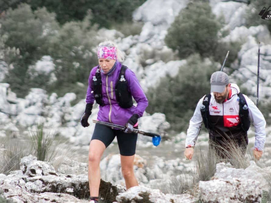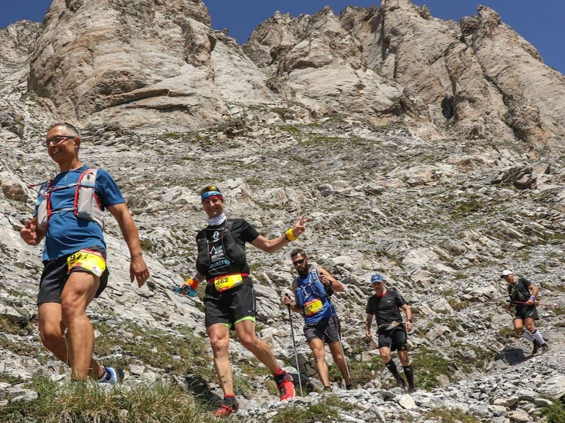
Spain · Aragon (Pyrenees)
Trail Valle de Tena Ultra
Distance
42.5 km
Date
September 5, 2026
Entry fee
70 EUR
€ / km
€1.65
Pyrenees village-to-ridge: some of the biggest climbs in Europe, rugged trails, and high-mountain scenery in Aragón.
Elevation and Terrain
Total Meters
3500m
D+/KM
82.35m/km
For context, the Tor des Géants 330 loop has 73 D+/km.
Avg Uphill Gradient
18.7%
Avg Downhill Gradient
-17.2%
Uphill gradient distribution
Route Profile
Analysed 2026-05-02Terrain breakdown
Terrain
Climbs

Top climbs
5.4 km · 1367 m gain
starts km 1 · avg 25.3% · max 70.8%
5.3 km · 595 m gain
starts km 33 · avg 11.3% · max 50.0%
6.8 km · 564 m gain
starts km 11 · avg 8.3% · max 42.0%
Top descents
8.5 km · 1254 m drop
starts km 26 · avg -14.8% · max -43.3%
5.6 km · 735 m drop
starts km 40 · avg -13.2% · max -45.2%
2.7 km · 725 m drop
starts km 6 · avg -27.0% · max -58.5%
Course Profile: Why the 4K Is the 2nd Most Mountainous Ultra in Europe
Is Trail Valle de Tena Ultra 4K a difficult race? Yes — it ranks 2nd most mountainous out of 390 European ultra trail races in the DiscoverTrailRaces database. Only one course has less flat terrain. The 4K covers 42.5km with 3,500m D+, averaging 82.35m of climbing per kilometre, and a medical certificate is required to enter.
The Route: Panticosa to the High Pyrenees and Back — What 3,500m D+ Looks Like
What does '4K' mean in the Trail Valle de Tena race name? The 4K refers to approximately 4,000m of D+ (elevation gain), which is the race's naming convention for all its distances: 8K (approximately 80km / 6,820m D+), 4K (42.5km), 2K (approximately 20km), and 1K (approximately 11km). Note that the GPS-measured D+ for the 4K is 3,500m rather than exactly 4,000m — the '4K' name is a branding convention, not a precise measurement.
How the 4K Compares to the 8K — and to the Hardest Ultras in the Database
Is Trail Valle de Tena Ultra 4K sold out? No — unlike many comparable mountain ultras, the 4K has no sell-out history. Entry for 2026 is €80 (standard rate; early bird of €70 was valid until March 31, 2026). Registration is via Rock the Sport: rockthesport.com/es/evento/trail-valle-de-tena-2026.
Entry, Cost, and Getting to Panticosa: What You Need to Know
Where does Trail Valle de Tena Ultra 4K take place? The race is based in Panticosa, a mountain village in the Valle de Tena in the Aragonese Pyrenees, Spain. The nearest airports are Zaragoza (ZAZ) and Bilbao (BIO), both approximately 2–3 hours by car. Public transport to the start is not realistic — a car is strongly recommended.
Race files
Logistics
Nearest airport
Zaragoza (ZAZ) / Bilbao (BIO)
Notes
Start: 2–3h / Public transport: not realistic