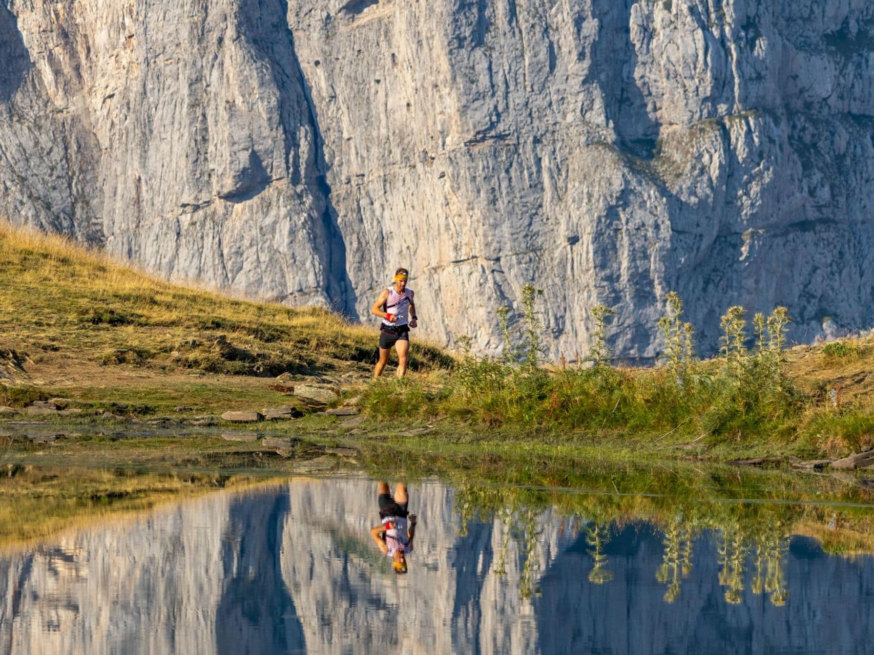
Italy · Aosta Valley
Monterosa Walserwaeg by UTMB
Distance
120 km
Date
July 17, 2026
Entry fee
240 EUR
€ / km
€2.18
New date pending
This race has already occurred. A new date for next year’s edition is pending.
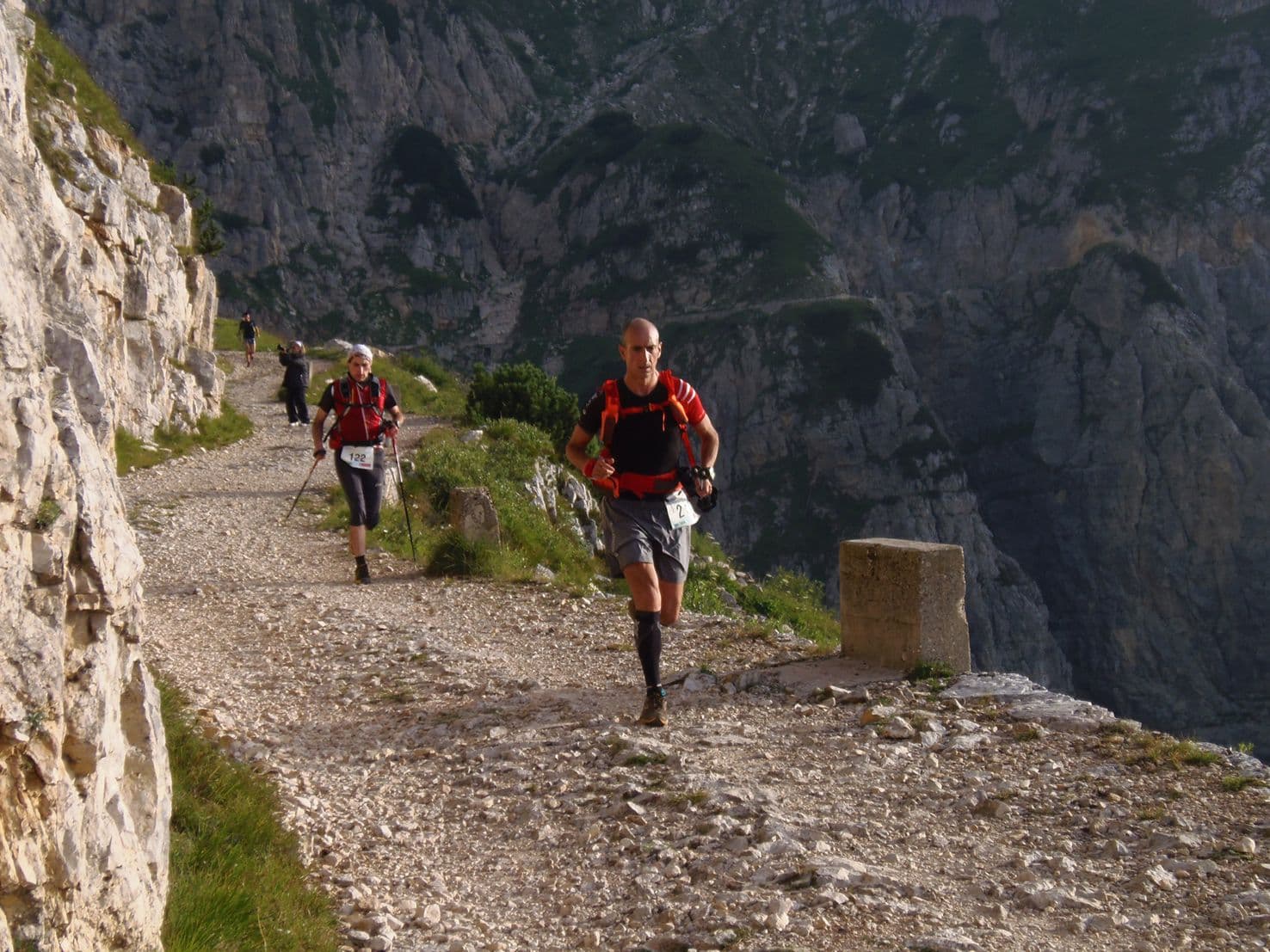
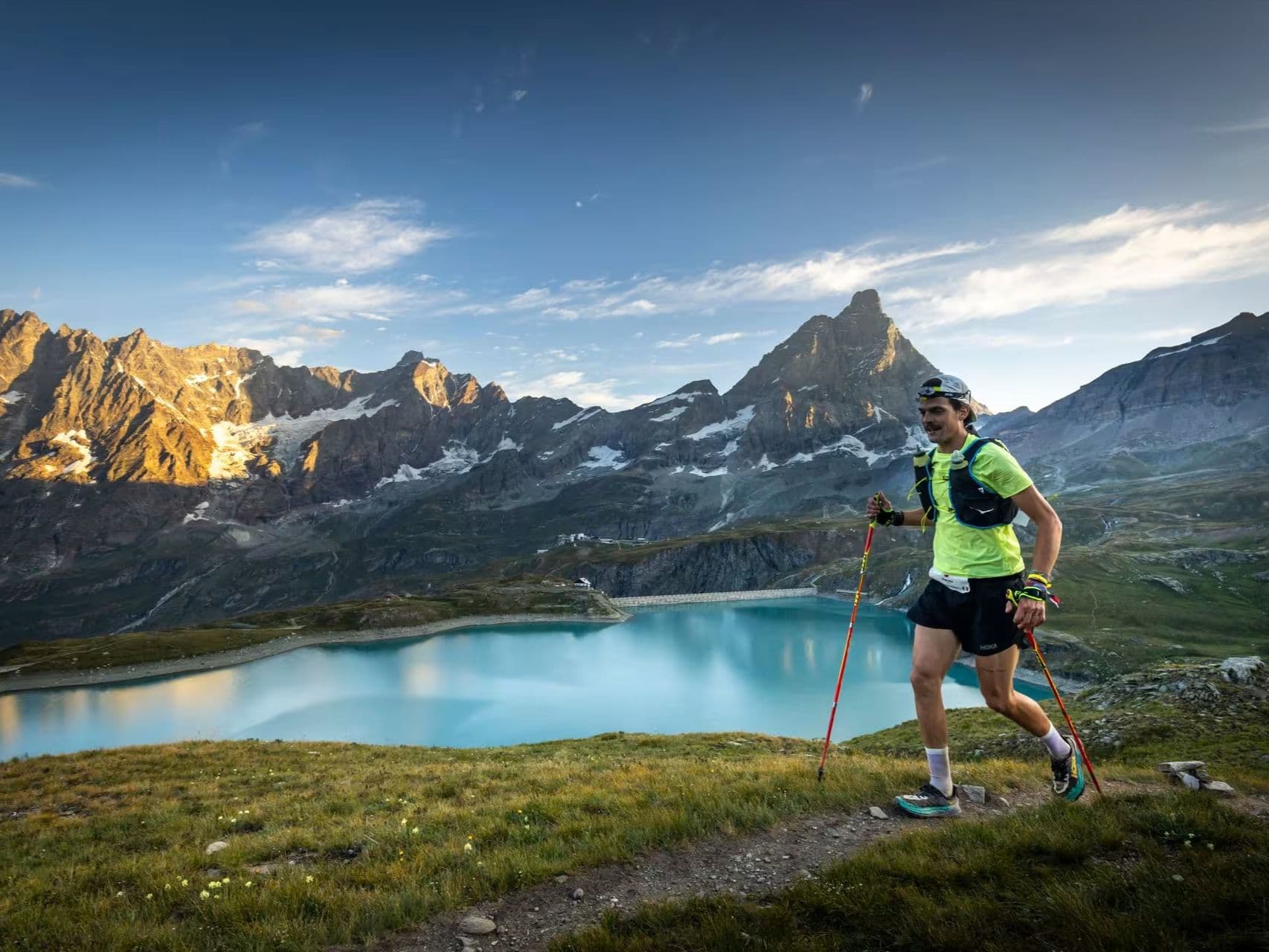
UTMB in the Aosta Valley: huge vert, high-mountain villages, and serious alpine toughness.
Elevation and Terrain
Total Meters
7400m
D+/KM
61.67m/km
For context, the Tor des Géants 330 loop has 73 D+/km.
Avg Uphill Gradient
15.2%
Avg Downhill Gradient
-15.3%
Uphill gradient distribution
Route Profile
Analysed 2026-05-02Terrain breakdown
Terrain
Climbs

Top climbs
6.8 km · 1126 m gain
starts km 9 · avg 16.5% · max 48.6%
6.4 km · 1089 m gain
starts km 97 · avg 17.0% · max 46.3%
7.1 km · 683 m gain
starts km 1 · avg 9.6% · max 40.7%
Top descents
11.8 km · 1408 m drop
starts km 84 · avg -11.9% · max -47.1%
7.0 km · 1041 m drop
starts km 103 · avg -14.8% · max -49.6%
6.5 km · 946 m drop
starts km 24 · avg -15.0% · max -49.3%
Why the Monterosa 120km Belongs in the Database's Top 5 for Gradient Intensity (15.19% Average Uphill, 61.7m/km)
Q: How hard is the Monterosa Walserwaeg 120km? A: Extremely hard. The course covers 120km with 7,400m of gain (61.7 m/km — in the same tier as Mestia Ultra) and a 15.19% distance-weighted average uphill gradient (top 1–2% of the DTR database). There are 15.06km of 20%+ gradient uphill and a defining 11.85km descent dropping 1,408m. In 2025, approximately 38.6% of starters did not finish
UTMB World Series in the Shadow of Monte Rosa: What Les sentiers des Valdôtains Actually Means
Q: Is the Monterosa Walserwaeg a UTMB qualifier? A: Yes. The 120km ('Les sentiers des Valdôtains') is a UTMB World Series 100M race, awarding UTMB Mont-Blanc qualifying points. The 82km and 43km distances are also UTMB World Series events (100K and 50K respectively).
Getting There: Turin, Geneva, and the Drive into the Lys Valley
Q: Which airport should I use for the Monterosa Walserwaeg? A: Turin (TRN), Milan Malpensa (MXP), and Geneva (GVA) are all viable, each approximately 1.5–3.5 hours from the race area by road — the race IS FAR by DTR standards. Trains to the Aosta Valley with bus or taxi connections are possible. Book accommodation early — July is peak alpine season in the Aosta Valley.
Race files
Logistics
Nearest airport
Turin (TRN) / Milan Malpensa (MXP) / Geneva (GVA)
Notes
Start: ~1.5–3.5 hrs depending on venue and transfers / Public transport: trains to Aosta region then bus/taxi / Accommodation: good in Aosta Valley towns; book early (July)
FAR
It’ll possibly take 3+ hours from the closest large airport to arrive. Plan your adventure accordingly, take an extra day for those after-race beers or Curranz.