Austria · Tyrol (Pitztal)
Pitz Alpine Glacier Trail
Distance
87 km
Date
July 31, 2026
Entry fee
215 EUR
€ / km
€2.47
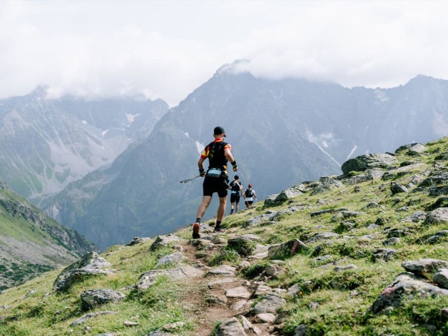
Glacier-country grind: steep climbs above the treeline and raw alpine terrain in the Pitztal.
Elevation and Terrain
Total Meters
5200m
D+/KM
59.77m/km
For context, the Tor des Géants 330 loop has 73 D+/km.
Avg Uphill Gradient
26.6%
Avg Downhill Gradient
-25.0%
Uphill gradient distribution
Route Profile
Analysed 2026-05-02Terrain breakdown
Terrain
Climbs

Top climbs
6.2 km · 1388 m gain
starts km 0 · avg 22.5% · max 146.7%
6.5 km · 1342 m gain
starts km 48 · avg 20.6% · max 177.5%
3.2 km · 616 m gain
starts km 18 · avg 19.0% · max 136.7%
Top descents
6.8 km · 1083 m drop
starts km 11 · avg -15.9% · max -160.0%
3.7 km · 654 m drop
starts km 56 · avg -17.7% · max -86.7%
4.2 km · 574 m drop
starts km 69 · avg -14.0% · max -99.6%
Race files
Logistics
Nearest airport
Innsbruck (INN) / Munich (MUC)
Notes
Start: ~1–1.75 hrs (INN) or FAR - ~3–4.5 hrs (MUC) to Pitztal (Mandarfen/St. Leonhard) / Public transport: bus from Imst/Pitztal Bahnhof; slower / Accommodation: limited in upper Pitztal; book early