Eiger Ultra Trail by UTMB  250 km trail running route — Switzerland · Bernese Oberland

SUIZA · Bernese Oberland

Eiger Ultra Trail by UTMB

Distancia

250 km

Fecha

July 15, 2026

Precio de inscripción

598 CHF

€ / km

€2.61

📅

Nueva fecha pendiente

Esta carrera ya ha tenido lugar. La fecha de la próxima edición está pendiente.

UTMB in the Jungfrau: towering peaks, huge climbs, and high-alpine drama around Grindelwald.

Elevación y Terreno

Metros totales

18000m

D+/KM

72m/km

Como referencia, el circuito Tor des Géants de 330 km tiene 73 D+/km.

Pendiente media de subida

14.8%

Pendiente media de bajada

-15.1%

Distribución del gradiente de subida

2–5%
21.8 km
5–10%
25.5 km
10–15%
19.8 km
15–20%
13.9 km
20%+
28.7 km

Perfil de ruta

Analysed 2026-05-02

Desglose del terreno

41%Subida18%Llano41%Bajada

Terreno

High Alpine

Ascensos

Eiger Ultra Trail by UTMB  climbs and descents profile

Principales ascensos

1

12.0 km · 1598 m gain

starts km 147 · avg 13.3% · max 61.8%

2

9.2 km · 1422 m gain

starts km 25 · avg 15.5% · max 51.6%

3

15.4 km · 1343 m gain

starts km 242 · avg 8.7% · max 72.7%

Principales descensos

1

13.2 km · 1679 m drop

starts km 83 · avg -12.7% · max -52.5%

2

10.9 km · 1596 m drop

starts km 44 · avg -14.6% · max -79.7%

3

23.5 km · 1461 m drop

starts km 214 · avg -6.0% · max -55.8%

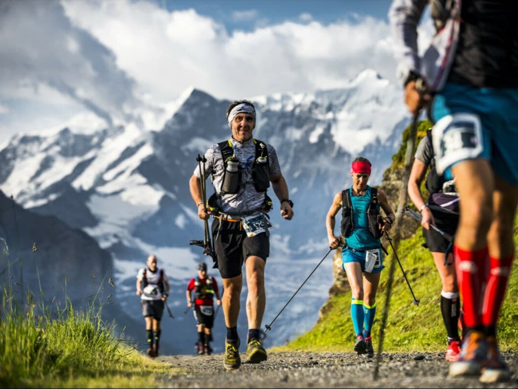
The Eiger Ultra Trail by UTMB E250 is a 250 km team trail race held in July in the Bernese Oberland, Switzerland. The course gains 18,000 m over 250 km (72 m/km), starting and finishing in Grindelwald, and circumnavigating the UNESCO World Heritage Swiss Alps Jungfrau-Aletsch site — nine 4,000 m peaks and the 23 km Aletsch glacier, the largest in the Alps.

Entry is by team only: 2 or 3 runners race together throughout with no solo entry permitted. Entry costs CHF 598.40 per runner (~€2.61/km), allocated by lottery — the 2026 edition is sold out.

The biggest descent drops 1,596 m over 10.95 km — the 10th largest single descent of 386 European trail distances in the DTR database. The biggest climb rises 1,598 m — the 20th largest single ascent of 385 European distances. 28.71 km of uphill terrain exceeds 20% gradient.

The route carries no markings; teams navigate entirely by GPS across glaciers, passes, and remote alpine valleys. Four life bases provide hot food and sleeping space.

Nearest airport is Zürich (ZRH), approximately 179 minutes by train. Now in its fourth edition in 2026, the E250 suits teams of experienced alpine runners seeking an expedition-style 100-hour challenge through a UNESCO World Heritage landscape.

Archivos de carrera

Logística

Aeropuerto más cercano

Zürich (ZRH) / Geneva (GVA) / Bern (BRN)

Notas

Start: ~2–3 hrs by train to Grindelwald (ZRH/GVA) / Public transport: excellent (train to Grindelwald) / Accommodation: strong but expensive in Jungfrau region; book early

Última verificación: February 18, 2026Sitio oficial →