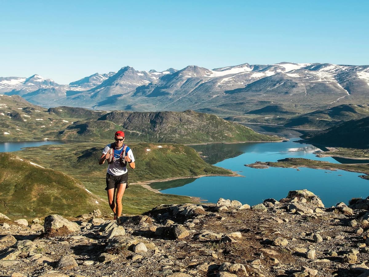

NORUEGA · Innlandet
Distancia
73 km
Fecha
Precio de inscripción
2295 NOK
€ / km
2,80 €
Nueva fecha pendiente
Esta carrera ya ha tenido lugar. La fecha de la próxima edición está pendiente.
Jotunheimen Ultra-Trail – 73 km
Elevación y Terreno
Metros totales
2500m
D+/KM
34,2m/km
Como referencia, el circuito Tor des Géants de 330 km tiene 73 D+/km.
Pendiente media de subida
10,8%
Pendiente media de bajada
-9,2%
Distribución del gradiente de subida
| 2–5% | 6,7 km | |
|---|---|---|
| 5–10% | 5,4 km | |
| 10–15% | 2,9 km | |
| 15–20% | 1,7 km | |
| 20%+ | 3,2 km |
Perfil de ruta
AnalysedDesglose del terreno
| 28,2% | Subida |
|---|---|
| 39,2% | Llano |
| 32,6% | Bajada |
Terreno
Jotunheimen Ultra-Trail – 73 km 73km Principales ascensos
Principales ascensos
| 1 | 6,1 km · 484 m gain starts km 44 · avg 7,9% · max 36,1% |
|---|---|
| 2 | 1,6 km · 372 m gain starts km 20 · avg 23,4% · max 52,3% |
| 3 | 5,6 km · 269 m gain starts km 4 · avg 4,8% · max 36,3% |
Principales descensos
| 1 | 5,5 km · 459 m drop starts km 51 · avg -8,3% · max -51,6% |
|---|---|
| 2 | 4,7 km · 341 m drop starts km 33 · avg -7,3% · max -29,6% |
| 3 | 2,6 km · 311 m drop starts km 14 · avg -12,0% · max -54,5% |
Cómo llegar a Jotunheimen Ultra-Trail – 73 km
Aeropuerto más cercano
Oslo (OSL)
Notas
Salida: ~4,5–5 h en coche / Transporte público: complicado
FAR
It’ll possibly take 3+ hours from the closest large airport to arrive. Plan your adventure accordingly, take an extra day for those after-race beers or Curranz.


