
Skip to content
Istria 100 by UTMB – 111.4 km 2027 trail running route — Croatia · Istria County

Croatia · Istria County

Distance

111 km

Date

Entry fee

242

€ / km

€2.17

Istria 100 by UTMB – 111.4 km

Elevation and Terrain

Total Meters

4,074m

D+/KM

36.6m/km

For context, the Tor des Géants 330 loop has 73 D+/km.

Avg Uphill Gradient

9.0%

Avg Downhill Gradient

-8.8%

Uphill gradient distribution

Istria 100 by UTMB – 111.4 km 111 km — uphill gradient distribution (GPX-derived, analysed 2026-05-02)
2–5%
9.1 km
5–10%
14.9 km
10–15%
9.0 km
15–20%
5.2 km
20%+
0.8 km

Route Profile

Analysed

Terrain breakdown

Istria 100 by UTMB – 111.4 km 111 km — terrain breakdown (GPX-derived, analysed 2026-05-02)
35.2%Uphill
28.5%Flat
36.3%Downhill

Terrain

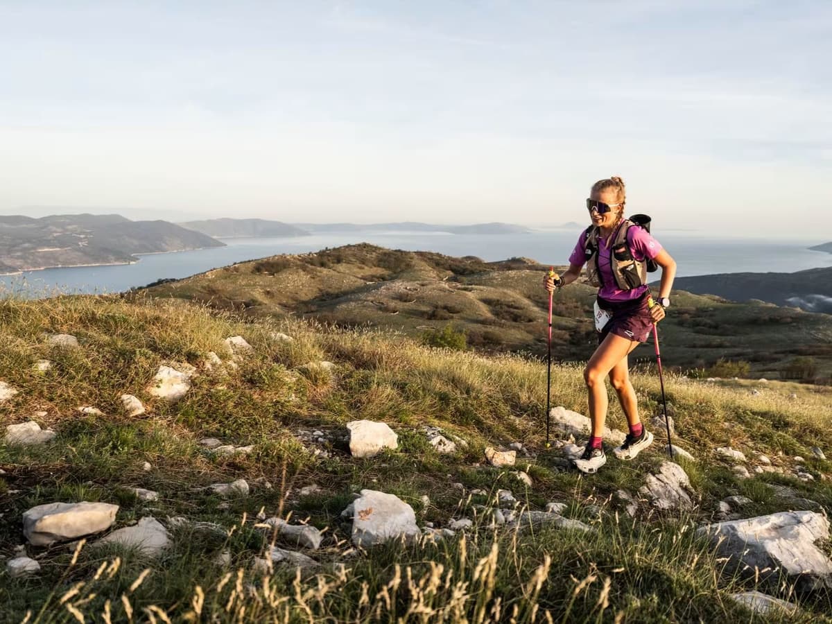
CoastalPre-Alpine

Istria 100 by UTMB – 111.4 km 111km Top Climbs

Top Climbs

Istria 100 by UTMB – 111.4 km 111 km — top climbs (GPX-derived, analysed 2026-05-02)
1

7.0 km · 527 m gain

starts km 2 · avg 7.5% · max 20.3%

2

2.6 km · 369 m gain

starts km 60 · avg 14.0% · max 19.7%

3

2.6 km · 349 m gain

starts km 74 · avg 13.7% · max 22.8%

Top descents

Istria 100 by UTMB – 111.4 km 111 km — top descents (GPX-derived, analysed 2026-05-02)
1

4.9 km · 502 m drop

starts km 31 · avg -10.3% · max -23.2%

2

3.4 km · 435 m drop

starts km 38 · avg -12.9% · max -21.9%

3

3.0 km · 372 m drop

starts km 63 · avg -12.0% · max -21.5%

Istria 100 by UTMB – 111.4 km 111km GPX

Getting to Istria 100 by UTMB – 111.4 km

Nearest airport

Pula (PUY) / Trieste (TRS) / Ljubljana (LJU)

Notes

Start: ~0.75–2.0 hrs drive; event hub is Umag; the 168K distance runs Labin→Umag / Public transport: possible via bus/train to Pula or Trieste then bus; car easiest / Accommodation: strong in coastal towns; more limited inland

Last checked: Official Website →

Races with a similar gradient