Switzerland · Ticino
Distance
120 km
Date
Entry fee
CHF 174
€ / km
€1.58
Scenic Trail 120km -- 8,700m D+, Rank 37/~390 D+/km, and a Back-to-Back Climb Block Through Ticino's Alpine Ridges
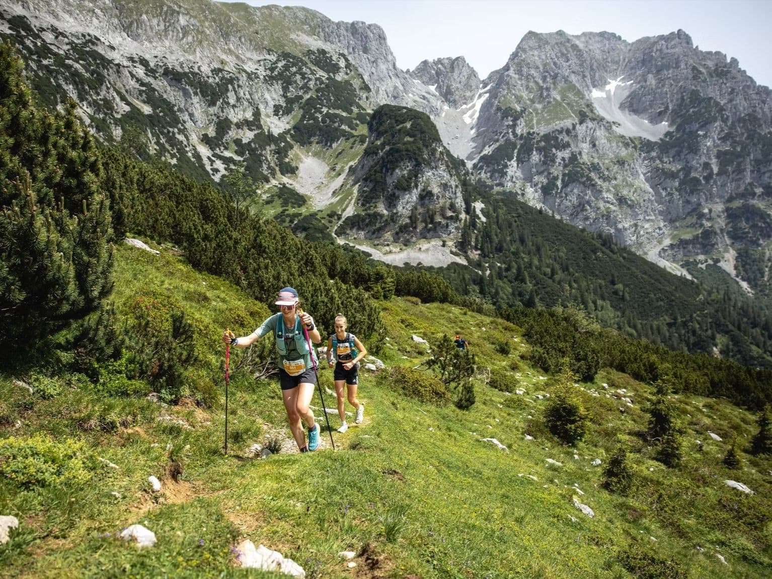
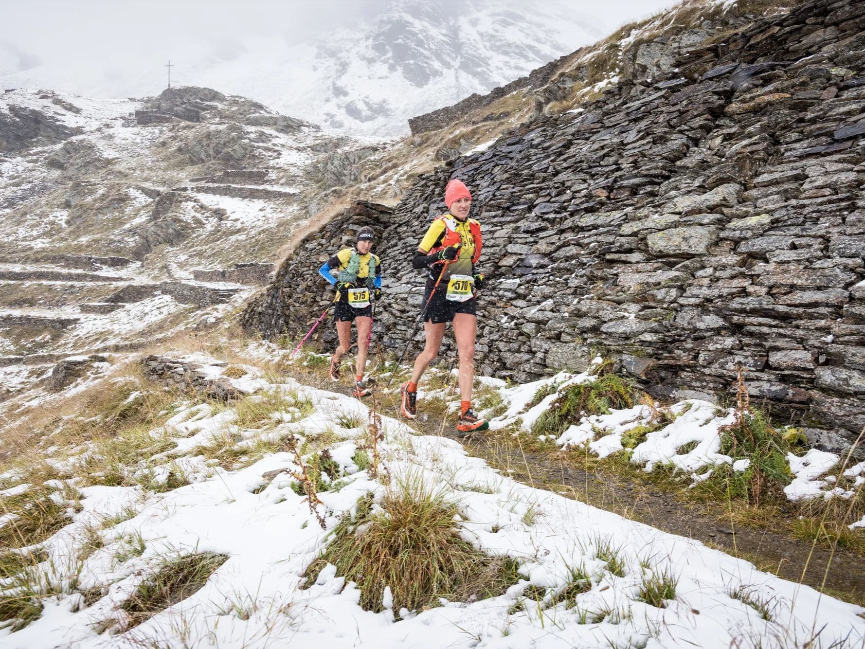
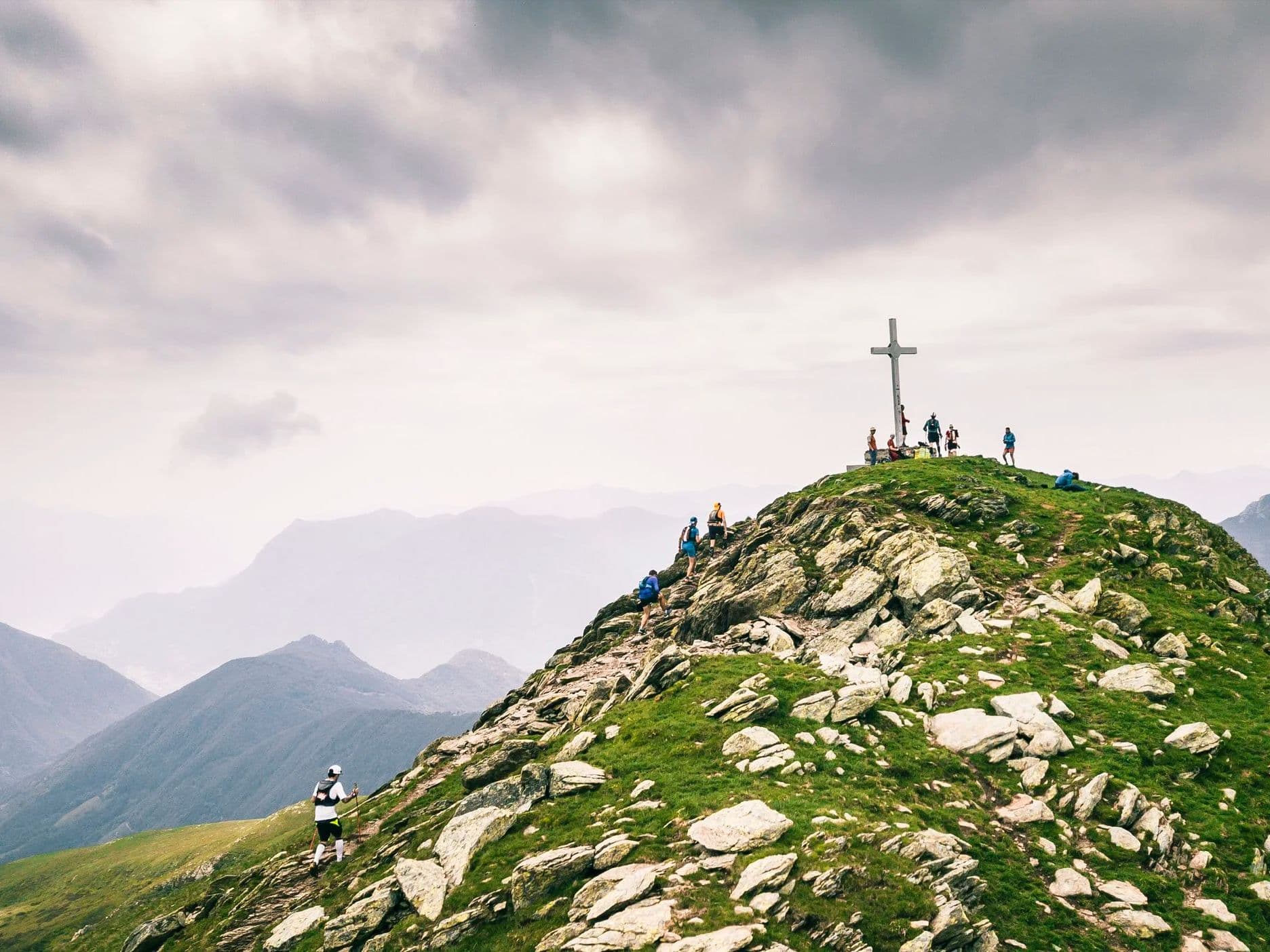
Scenic Trail K120 launches from Tesserete in Switzerland's Italian-speaking Ticino canton and climbs 8,700m across 120km of alpine terrain along the Denti della Vecchia ridge -- a borderline between Switzerland and Italy -- passing Monte Bar and Gazzirola with views of both Lake Como and Lake Lugano. With only 9.5% flat terrain (11.4km in 120km), the course offers almost no recovery buffer between its major climbs and descents.
Three major ascents arrive in a 27km mid-race block between km 41 and km 68, including a back-to-back pairing where a 649m climb at 19.9% average gradient feeds directly into a 737m climb at 18.5% average over 10km. The 16.5% distance-weighted average uphill gradient (rank 37/390 -- top 10%) is upper-tier for any distance class. The largest single descent drops 1,333m over 10km from km 32 (rank 15/390 -- only 14 courses in the database have a bigger single drop). 3,000 runners from 70+ nations enter across six distances; the K120 sees around 72 finishers. The race has won the Swiss Ultra Trail Award multiple times. Next edition expected June 2027.
Elevation and Terrain
Total Meters
8,700m
D+/KM
72.5m/km
For context, the Tor des Géants 330 loop has 73 D+/km.
Avg Uphill Gradient
16.5%
Avg Downhill Gradient
-15.4%
Uphill gradient distribution
| 2–5% | 6.7 km | |
|---|---|---|
| 5–10% | 10.4 km | |
| 10–15% | 8.1 km | |
| 15–20% | 9.2 km | |
| 20%+ | 17.0 km |
Route Profile
AnalysedTerrain breakdown
| 43.8% | Uphill |
|---|---|
| 9.5% | Flat |
| 46.7% | Downhill |
Terrain
Scenic Trail – 120 km 120km Top Climbs
Top Climbs
| 1 | 4.0 km · 737 m gain starts km 58 · avg 18.5% · max 71.3% |
|---|---|
| 2 | 5.9 km · 674 m gain starts km 41 · avg 11.4% · max 47.5% |
| 3 | 3.3 km · 649 m gain starts km 53 · avg 19.9% · max 57.3% |
Top descents
| 1 | 10.0 km · 1,333 m drop starts km 32 · avg -13.3% · max -38.8% |
|---|---|
| 2 | 4.4 km · 806 m drop starts km 62 · avg -18.2% · max -43.3% |
| 3 | 4.1 km · 729 m drop starts km 100 · avg -18.0% · max -50.4% |
Almost No Flat Terrain: The Scenic Trail 120km Active-Gradient Character
Why does Scenic Trail 120km have only 11.4km of flat terrain, and what does 90.5% active-gradient terrain mean for pacing across 120km?
▼
The Scenic Trail K120's 9.5% flat (rank 163/~390 in the DTR database -- 162 courses less flat, ~227 flatter) means approximately 11.4km of non-gradient terrain across 120km. The dominant gradient band above 20% (17.0km) is the single largest gradient category, exceeding every gentler band (2-5%: 6.7km; 5-10%: 10.4km; 10-15%: 8.1km; 15-20%: 9.2km). The terrain is defined by the Denti della Vecchia ridge -- the Switzerland-Italy border -- where alpine topography produces abrupt transitions between climbing and descending with almost no flat transitional ground. The 16.5% DW average uphill (rank 37/~390 -- top 10%, UPPER tier) and -15.4% DW average downhill (rank 331/~390 inverted -- near steepest in database) are the product of this structure: extreme gradient in both directions is the norm, not the exception. Pacing on the 9.5% flat is secondary to managing the five major climbs and three major descents that consume virtually all of the 120km.
The Back-to-Back Climb Block: The Defining Challenge of Scenic Trail 120km
What happens at the back-to-back climb block between km 53 and km 68 of Scenic Trail K120?
▼
Three major climbs arrive in the 27km stretch between km 41 and km 68. Climb 2 (674m / 11.4% avg / 5.91km) begins at km 41.3. Climb 3 (649m / 19.9% avg / 3.27km -- UPPER tier, deeper into the 15%+ band than the DW average) begins at km 53.3. The Top1Ascent -- 737m / 18.5% avg / 9.99km (rank 46/~390) -- begins at km 57.5, approximately 1km after Climb 3 ends. Climbs 3 and 1 back-to-back deliver 1,386m of gain from km 53 to approximately km 67.5 with less than 1km of gap between them. With only 9.5% flat terrain throughout (rank 163/~390), runners enter this block carrying gradient debt from the preceding 52km. After the block, Descent 2 (806m / -18.2% avg -- UPPER tier) begins almost immediately. The sequence: climb 1,386m at extreme gradient, descend 806m at -18.2%, on legs that have already absorbed 5,500m+ of prior elevation work.
How to Train for the Scenic Trail K120's Extreme Gradient Demands
How should you train for the Scenic Trail 120km -- 16.5% average uphill, near-steepest average downhill in the database, and back-to-back UPPER-tier climbs?
▼
The Scenic Trail K120's 16.5% DW average uphill (rank 37/~390 -- top 10%) is UPPER tier at 120km distance. Standard recommendations for races at this gradient tier: prioritise vertical gain per week over raw distance; train back-to-back long efforts that simulate arriving at steep climbing on fatigued legs (the km 53-68 block arrives after 52km); train specifically on gradients at and above 15% for extended durations (the 18.5% avg Climb 1 runs 9.99km). The -15.4% DW average downhill (rank 331/~390 inverted -- near steepest in the database) demands equal technical descent preparation: Descent 2 (-18.2% avg) and Descent 3 (-18.0% avg) arrive mid-race and late when quads are already depleted. Poles are essential for Climb 3 (19.9% avg) and Climb 1 (18.5% avg). No K120 English-language race reports exist; K54 reports describe 'relentless uphills on the first half, relentless downhills on the second.'
Is the Scenic Trail K120 Worth Entering in 2027 -- CHF 174 Entry, a 72-Person Field, Swiss Ultra Trail Award, and Views of Lake Como and Lake Lugano From the Ridge
Is the Scenic Trail K120 worth entering in 2027 -- CHF 174 entry, a 72-person field, and how does it compare to other Swiss alpine ultras?
▼
The Scenic Trail K120 costs CHF 174 plus a CHF 6.99 ENDU service fee (approximately EU1.58/km) -- competitive for a Swiss mountain ultra at this gradient profile (rank 37/~390 D+/km, rank 15/~390 for Top1Descent, rank 37/~390 for AvgUphill). The K120 field is very small (~72 finishers in 2025, ~75 in 2024 -- both LOW CONFIDENCE), making it one of the most intimate 120km events in Europe. The broader event draws ~3,000 runners from 70+ nations across six distances. The Swiss Ultra Trail Award recognition and the Denti della Vecchia ridgeline -- Switzerland-Italy border, views of Lake Como and Lake Lugano -- give it a setting and reputation that exceed its current English-language profile. No K120 English-language race reports exist. The event does not typically sell out but registration closes late May for the June start -- check scenictrail.ch for 2027 dates.
Getting to Tesserete, Ticino: Airport Options for Scenic Trail 120km
How do I get to the Scenic Trail 54km?
▼
The nearest major airport is Milan Malpensa (MXP), approximately 79 minutes from the Tesserete race area — not classified as FAR. Zurich Airport (ZRH) is approximately 2.5 to 3.5 hours by road and is the main Swiss hub. Public transport to Tesserete is possible via Lugano city plus local bus or taxi, but a car is recommended for race-day logistics. Accommodation is available in Lugano (15–20 minutes from Tesserete) and in the wider Ticino area; book early as the race weekend can fill local options.
Scenic Trail – 120 km 120km GPX
Getting to Scenic Trail – 120 km
Nearest airport
Milan Malpensa (MXP) / Zürich (ZRH)
Notes
Start: ~1–2 hrs (MXP) or ~2.5–3.5 hrs (ZRH) / Public transport: Possible via Lugano + local bus/taxi; car easier / Accommodation: Good around Lugano; race weekend can fill