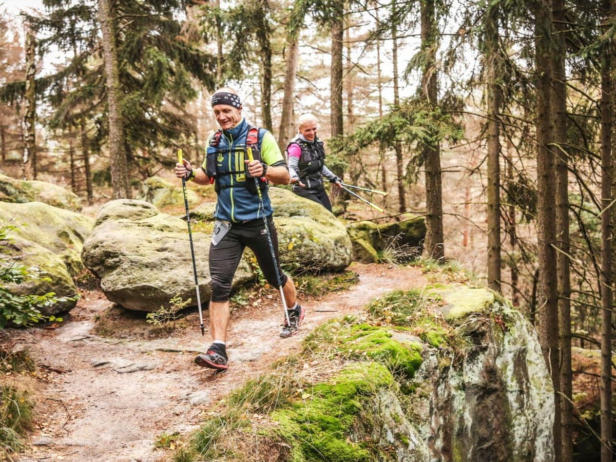
Hungary · Pest County
Distance
84 km
Date
Entry fee
—
€ / km
—
UTH Salomon Ultra-Trail Hungary 84km: Hungary's Flagship Trail Ultra in the Pilis Hills
UTH Salomon Ultra-Trail Hungary 84km traces 84 kilometres through the Pilis Hills north of Budapest with 3,186m of officially confirmed D+ -- an exact match between the published figure and GPX analysis. At 38m of D+ per kilometre the course ranks 217th most vertical out of 390 European ultras, sitting solidly in the middle of the database: this is sustained rolling forest terrain rather than dramatic alpine climbing. The biggest single descent drops 420m at an average gradient of -4.9%; the biggest climb rises 446m.
What defines the race is accumulated fatigue over 84km of continuous forest trail -- including at least one night segment -- not any single dramatic moment. Entry for 2026 was 145 euros (1.73 euros per km) via tiered pricing that rose through approximately four price points from around 98 euros to 145 euros. The 2026 edition sold out with medium sell-out intensity; registration is now closed. The race has exceptional access: Budapest airport (BUD) is 44 minutes away and suburban rail serves the start area directly. Budapest offers abundant accommodation at all price points. First held in 2018 and DUV-listed, UTH runs alongside 42km, 54km, and 111km distances as Hungary's flagship trail festival.

Elevation and Terrain
Total Meters
3,186m
D+/KM
37.9m/km
For context, the Tor des Géants 330 loop has 73 D+/km.
Avg Uphill Gradient
12.5%
Avg Downhill Gradient
-11.1%
Uphill gradient distribution
| 2–5% | 7.1 km | |
|---|---|---|
| 5–10% | 8.4 km | |
| 10–15% | 5.8 km | |
| 15–20% | 4.0 km | |
| 20%+ | 5.6 km |
Route Profile
AnalysedTerrain breakdown
| 37.0% | Uphill |
|---|---|
| 21.5% | Flat |
| 41.4% | Downhill |
Terrain
UTH Salomon Ultra-Trail Hungary – 84 km 84km Top Climbs
Top Climbs
| 1 | 4.1 km · 420 m gain starts km 27 · avg 10.3% · max 55.0% |
|---|---|
| 2 | 3.5 km · 347 m gain starts km 8 · avg 9.9% · max 40.3% |
| 3 | 6.5 km · 338 m gain starts km 15 · avg 5.2% · max 39.0% |
Top descents
| 1 | 8.0 km · 489 m drop starts km 19 · avg -6.1% · max -34.3% |
|---|---|
| 2 | 9.2 km · 446 m drop starts km 74 · avg -4.9% · max -41.0% |
| 3 | 5.0 km · 348 m drop starts km 29 · avg -7.0% · max -47.0% |
Elevation Gain in the Pilis Hills: UTH Salomon Ultra-Trail Hungary 84km
How much elevation gain does UTH Salomon Ultra-Trail Hungary 84km have?
▼
D+ = 3,186m, officially confirmed -- exact match between the published figure and GPX analysis (GPX actual distance 83.35km). At 38m of D+ per kilometre the course ranks 217th most vertical out of 390 European ultras -- solidly middle of the database. Total D- is 3,647m. The course traverses the Pilis Hills north of Budapest where maximum elevation rarely exceeds 750m. This is sustained rolling forest terrain with continuous accumulated vertical rather than dramatic alpine climbing.
Getting There: Budapest Airport Access and Transfer to UTH Salomon Ultra-Trail Hungary - 84 km
How do I get to UTH Salomon Ultra-Trail Hungary 84km?
▼
Budapest Ferenc Liszt International Airport (BUD) is approximately 44 minutes from the Szentendre and Pilis Hills area. From Budapest city centre the start area is 20-50 minutes by suburban rail (HEV) or bus -- exceptional public transport for a trail ultra. Budapest has abundant accommodation at all price points. Note: the exact 2026 start town was listed as Szentendre pending confirmation; verify the 2027 base location on ultratrail.hu. The area also includes the historic town of Szentendre and Visegrad castle.
Sold Out for 2026: Tiered Pricing, Registration Timeline, and How to Enter UTH 84km for 2027
Is UTH Salomon Ultra-Trail Hungary 84km sold out?
▼
The 2026 edition sold out with medium sell-out intensity; registration is now closed as the race ran on May 24, 2026. Entry was 145 euros (approximately 1.73 euros per km) at the final pricing tier -- the fee rose through approximately four tiers from around 98 euros to 145 euros. Note: the formsite.com registration platform may add currency conversion fees for non-EUR bank accounts. Monitor ultratrail.hu for 2027 registration opening dates and early-bird pricing.
UTH Salomon Ultra-Trail Hungary 84km: Difficulty, Gradient, and What the Numbers Say
How hard is UTH Salomon Ultra-Trail Hungary 84km?
▼
Significantly demanding despite modest gradient rankings. With 3,186m of D+ over 84km (38m/km) the course sits in the middle of 390 European ultras for vertical density -- this is sustained rolling terrain not alpine climbing. No single descent drops more than 420m; the biggest climb rises 446m. The challenge is accumulated fatigue over 84km of continuous forest trail including at least one night segment. The Pilis Hills terrain is mixed forest with some technical singletrack. Cutoffs apply at intermediate checkpoints; verify specific times on the official website for the 2027 edition.
UTH Salomon Ultra-Trail Hungary 84 km Festival History, Distances, and the 84km in Context
What is the UTH festival and what other distances does it offer?
▼
UTH (Ultra Trail Hungary) has been running since 2018 and is Hungary's flagship trail running festival in the Pilis Hills north of Budapest. The 2026 edition offered four distances: 42km, 54km, 84km (the Salomon Szentlaszlo Trail 84), and 111km. The 84km is the primary distance and carries the Salomon title sponsorship. The event is listed on DUV (statistik.d-u-v.org/eventdetail.php?event=98974). The Pilis Hills and Danube Bend area -- including the historic town of Szentendre and Visegrad castle -- make it a compelling destination race for runners across Central Europe.
UTH Salomon Ultra-Trail Hungary – 84 km 84km GPX
Getting to UTH Salomon Ultra-Trail Hungary – 84 km
Nearest airport
Budapest (BUD)
Notes
Start: ~20–50 min; base is Szentendre (Vasúti Villasor 117/A) / Public transport: excellent (suburban rail/bus) / Accommodation: easy in Budapest; limited in small towns; book early